El Julan
A remote southwestern district of El Hierro combining ancient rock engravings, a westerly lighthouse, and a volcanic coastal beach.
El Julan lies along the wild southwestern coast of El Hierro, a remote stretch of volcanic terrain where cliffs and lava fields meet the Atlantic. This part of the island has long been sparsely populated, and its rugged character has preserved traces of the past, most notably the El Julan archaeological site, where rock engravings left by the island’s earliest inhabitants can still be seen among the stone.
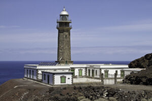
The area’s isolation extends to its westernmost point, marked by the Faro de Orchilla, a lighthouse that once stood as a reference for measuring longitude and now serves as a quiet marker of how far this coastline reaches from the rest of the island. Inland roads and tracks cross open, exposed ground before reaching the shore, reinforcing the sense of remoteness that defines the district.
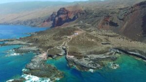
Closer to the sea, Tacorón Beach offers a more accessible corner of El Julan, with volcanic rock pools and calm inlets that contrast with the starkness of the surrounding landscape. Together, the archaeological remains, the lighthouse, and the coastal beach reflect the area’s mix of natural exposure and historical depth, making El Julan a distinctive, largely untouched part of El Hierro.
Places in El Julan
3 places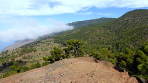
Where to stay near El Julan
HotelsNo hotels found.