Tafira Monte Lentiscal
An elevated inland district of Gran Canaria shaped by the Bandama volcanic crater and the cultivated landscapes of Santa Brígida.
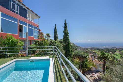
Tafira Monte Lentiscal sits in the green, elevated hinterland behind Las Palmas de Gran Canaria, where the island’s volcanic past is easier to read than almost anywhere else. The area is dominated by the Caldera de Bandama, a wide crater whose rim can be traced from the Pico de Bandama, giving sweeping views over the surrounding farmland and the coast beyond. Around it, the rougher terrain of Los Hoyos reflects the same volcanic origins, with pockets of cultivation worked into the uneven ground.
Away from the crater, the landscape softens into the wooded slopes and ravines that have long made this district a favoured retreat, most notably the Barranco de Guiniguada, which cuts through the terrain on its way towards the capital. Nearby, the Viera y Clavijo Botanical Garden brings together a wide range of Canarian and Macaronesian plant life within carefully tended grounds, offering a contrast to the raw volcanic scenery close by.
The neighbouring cultural landscape of Santa Brígida adds a further layer of interest, with its traditional settlement pattern and agricultural terraces illustrating how communities have adapted to this fertile, sloping terrain over time. Together, these features give Tafira Monte Lentiscal a character that blends geological drama with cultivated, settled countryside.
Places in Tafira Monte Lentiscal
6 places-
01
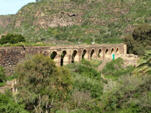 Barranco de Guiniguada
Gran Canaria’s Historic Inland Ravine
Barranco de Guiniguada
Gran Canaria’s Historic Inland Ravine
-
02
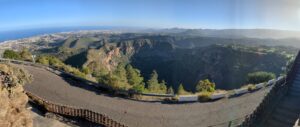 Caldera de Bandama
Gran Canaria’s Iconic Volcanic Caldera
Caldera de Bandama
Gran Canaria’s Iconic Volcanic Caldera
-
03
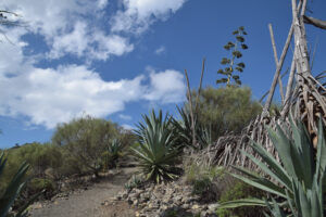 Los Hoyos
Gran Canaria’s Volcanic Wine Landscape
Los Hoyos
Gran Canaria’s Volcanic Wine Landscape
-
04
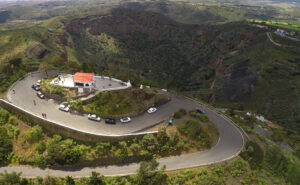 Pico de Bandama
Gran Canaria’s Panoramic Volcanic Viewpoint
Pico de Bandama
Gran Canaria’s Panoramic Volcanic Viewpoint
-
05
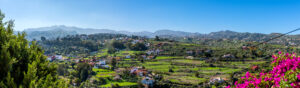 Santa Brígida
Historic wine town in Monte Lentiscal
Santa Brígida
Historic wine town in Monte Lentiscal
-
06
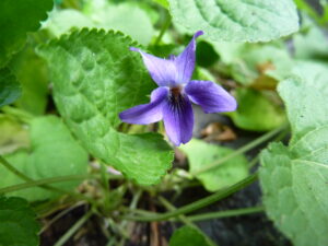 Viera y Clavijo Botanical Garden
Jardín Botánico Canario Viera y Clavijo — Gran Canaria’s Endemic Botanical Garden
Viera y Clavijo Botanical Garden
Jardín Botánico Canario Viera y Clavijo — Gran Canaria’s Endemic Botanical Garden