Barranco de Guiniguada
Gran Canaria’s Historic Inland Ravine
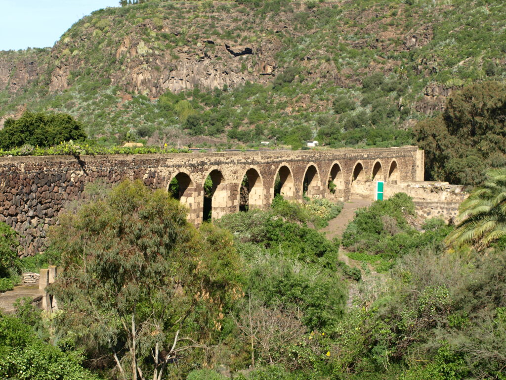
Barranco de Guiniguada is one of Gran Canaria’s most important inland ravines, stretching from the highlands near Bandama and Tafira toward Las Palmas. Its volcanic slopes, lush vegetation and historical significance make it a key landscape in the island’s interior.
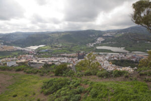
Barranco de Guiniguada is one of the major ravines of Gran Canaria, running from the volcanic highlands of Tafira and Monte Lentiscal toward the city of Las Palmas. Its landscape combines steep volcanic walls, cultivated terraces and pockets of lush vegetation shaped by centuries of rural activity.
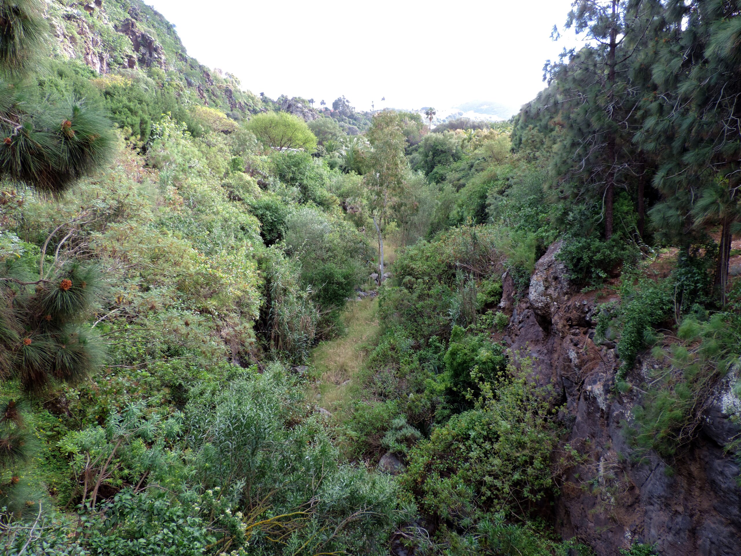
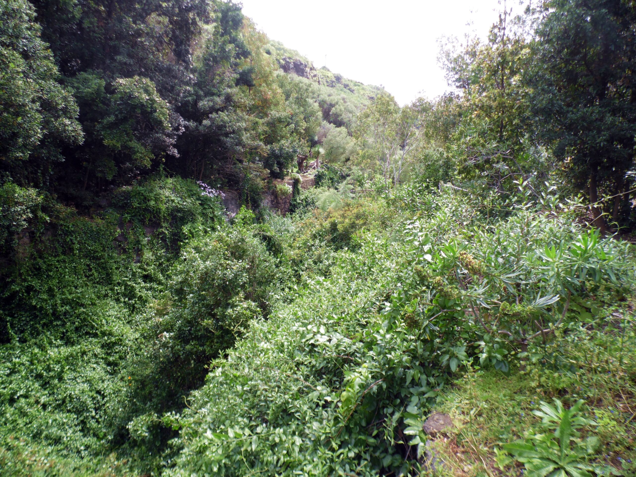
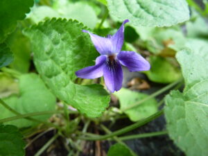
The ravine has played an important role in the island’s history. Early settlements developed along its slopes, taking advantage of fertile soils and access to water. Today, the area remains a mix of natural terrain and rural heritage, with traditional houses, agricultural plots and subtropical flora.
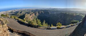
Guiniguada forms part of the broader volcanic system connected to Bandama, and its upper sections reveal geological layers shaped by ancient eruptions. Walking routes and rural roads link the ravine with nearby attractions such as Santa Brígida, Los Hoyos and Pico de Bandama.
The ravine’s combination of geology, vegetation and cultural history makes it one of the most characteristic inland landscapes of northeastern Gran Canaria.
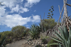
Jardín Botánico Canario lies along the upper reaches of the ravine, forming one of Spain’s most important botanical gardens. Founded in 1952, it preserves and studies Gran Canaria’s endemic flora, with terraced paths, ravine viewpoints and collections of rare island species integrated directly into the volcanic landscape.