La Cumbre
La Cumbre is the mountainous core of Gran Canaria, defined by the Caldera de Tirajana, the Llanos de la Pez plateau and the summit of Pico de las Nieves.
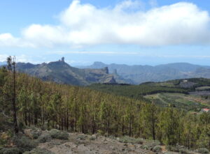
La Cumbre occupies the mountainous heart of Gran Canaria, where the island’s volcanic origins are most clearly exposed. This is high country, shaped by erosion and altitude rather than by coastline or settlement, and it forms a natural divide between the greener north and the drier south. The landscape here is one of bare rock, pine-clad slopes and wide skies, offering a very different character to the resort areas that ring the island.
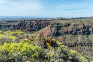
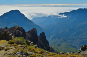
The Caldera de Tirajana dominates the area, a vast erosional basin whose steep walls and eroded pinnacles reveal the layered volcanic history of Gran Canaria. Nearby, the Llanos de la Pez forms an open highland plateau, used as a natural crossing point between the island’s central peaks, its relatively flat expanse a contrast to the surrounding ridges. Rising above it all is Pico de las Nieves, one of the island’s highest points, from which the interior’s ravines and peaks unfold in every direction.
Together these features make La Cumbre a place defined by geology and altitude, appealing to those drawn to open landscapes, mountain views and the quieter, elemental side of Gran Canaria rather than beaches or built attractions.