Caldera de Tirajana
Gran Canaria’s Monumental Highland Basin
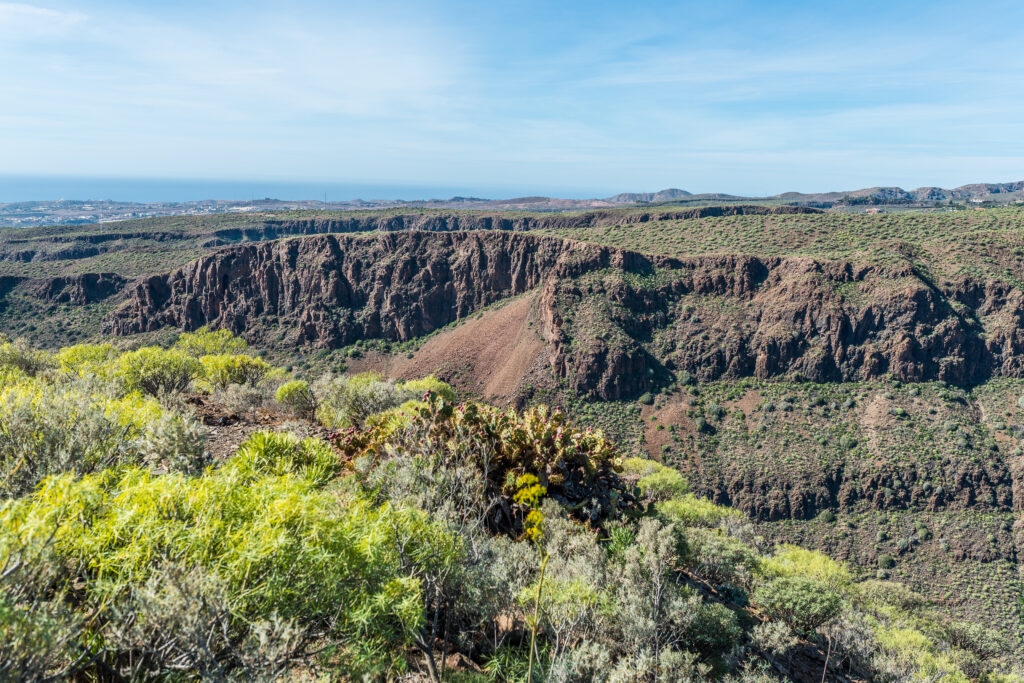
Caldera de Tirajana is one of Gran Canaria’s largest erosional basins, stretching across the island’s southern highlands with dramatic volcanic walls, deep ravines and historic settlements shaped by centuries of human and geological activity.
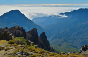
Caldera de Tirajana is one of the most imposing natural formations on Gran Canaria — a vast erosional basin carved into the southern highlands over millions of years. Its steep volcanic walls, deep ravines and elevated plateaus create a dramatic landscape that connects the central massif of La Cumbre with the southern interior of the island.
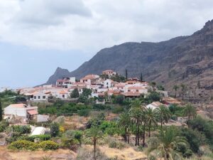
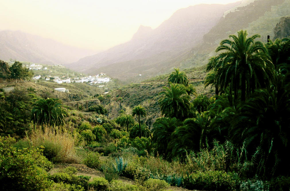
The caldera encompasses several historic mountain villages, including San Bartolomé de Tirajana, Santa Lucía and Fataga. These settlements developed along fertile terraces and natural water routes, forming one of the most culturally rich inland regions of Gran Canaria.
Geologically, the caldera reveals layers of volcanic rock shaped by ancient eruptions, uplift and erosion. Its ravines — such as Barranco de Fataga and Barranco de Tirajana — descend through rugged terrain toward the southern plains, creating some of the island’s most iconic inland viewpoints.
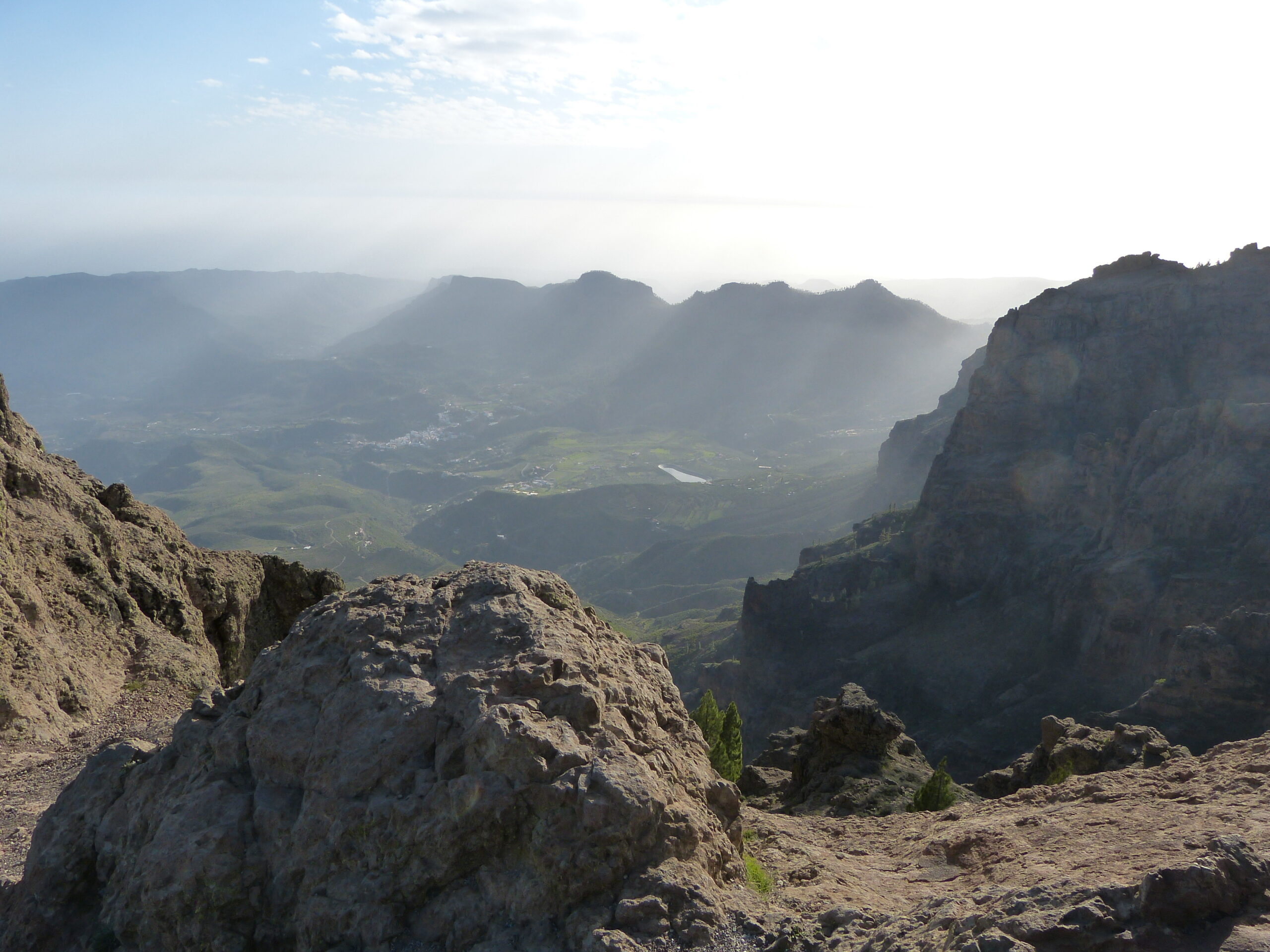
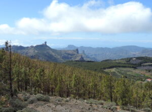
The upper rim of the caldera connects directly to Pico de las Nieves and the surrounding highlands, offering panoramic views across the basin and toward the distant coastline. Hiking routes traverse the caldera’s ridges, linking volcanic cliffs, pine forests and traditional agricultural landscapes.
With its combination of geology, history and sweeping mountain scenery, Caldera de Tirajana stands as one of Gran Canaria’s most significant natural and cultural landmarks.