Taganana Cliffs
Anaga's Wall Against the Atlantic
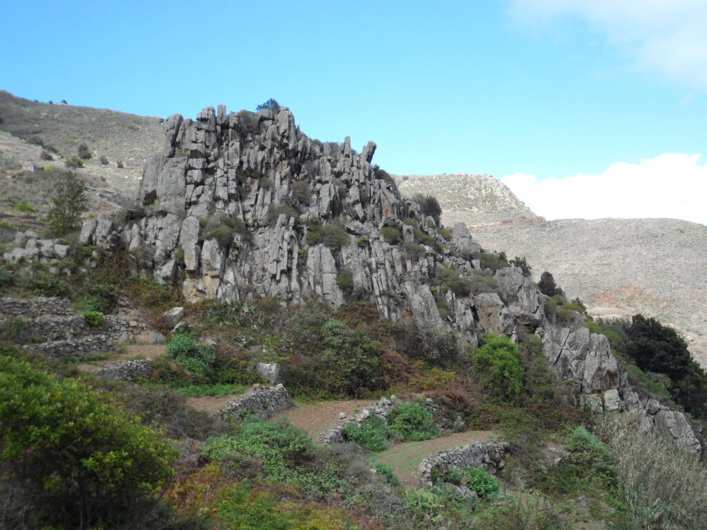
On Tenerife's remote northeastern tip, the Taganana cliffs drop from laurel-forested ridges straight into the Atlantic, part of the ancient Anaga massif. Reached by a winding mountain road, this stretch of coast pairs volcanic rock with terraced vineyards clinging to impossibly steep ground.
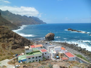
The cliffs above Taganana mark where the Anaga massif, among the oldest volcanic land in Tenerife, finally gives way to open sea. Millions of years of erosion have carved the mountainside into near-vertical faces and knife-edge ridges, cut through by ravines that funnel cloud and moisture down from the peaks above.
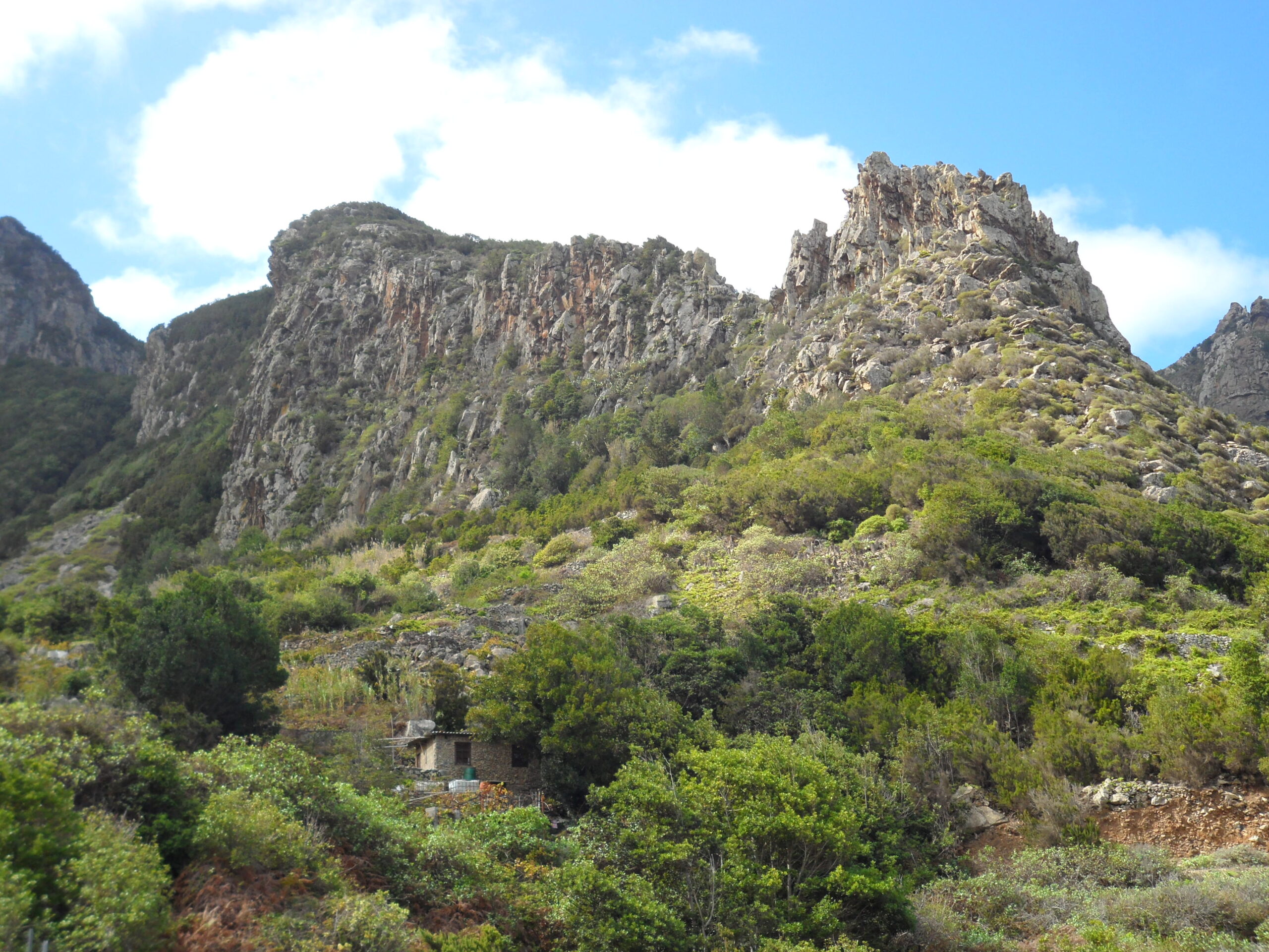
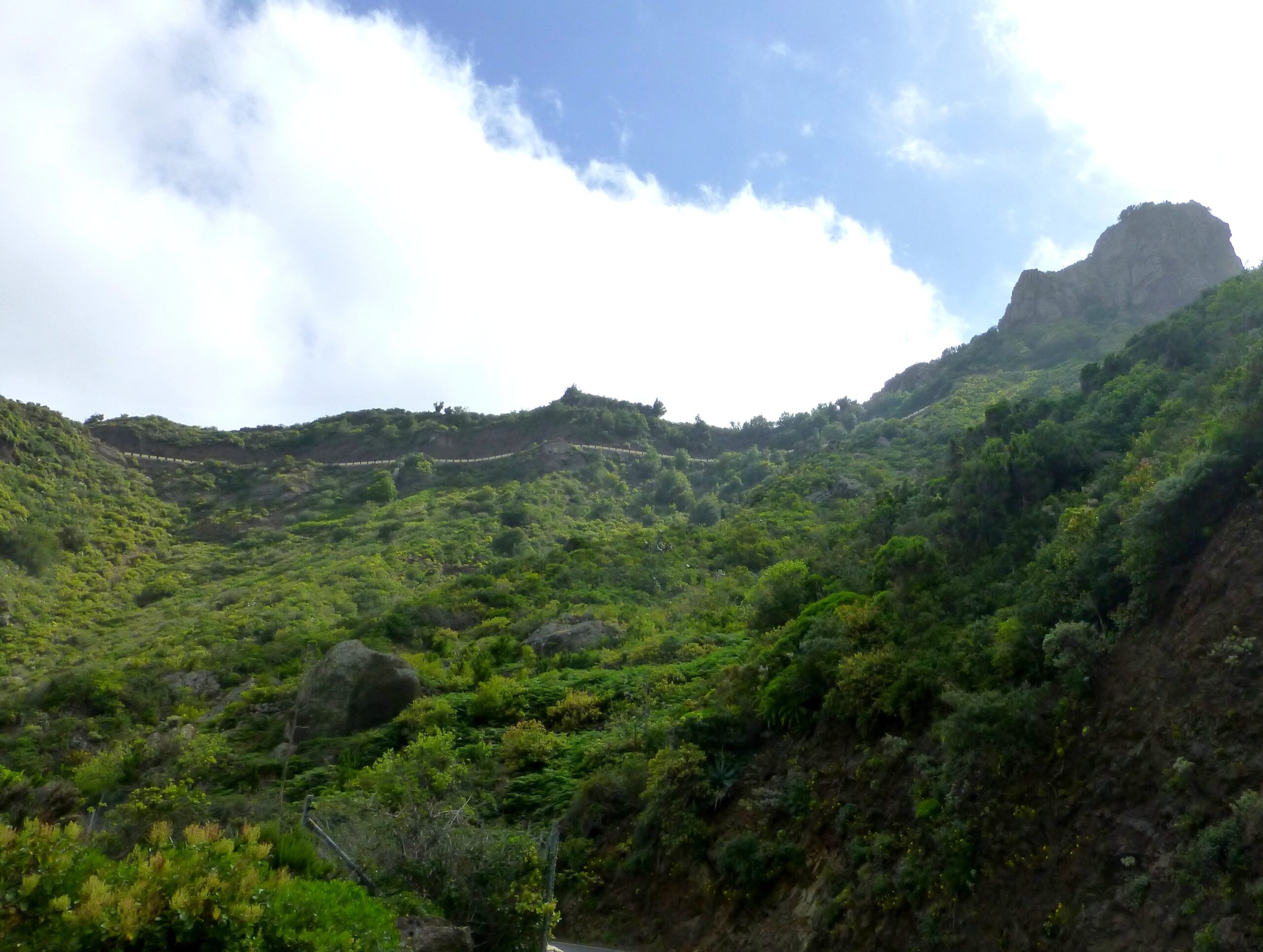
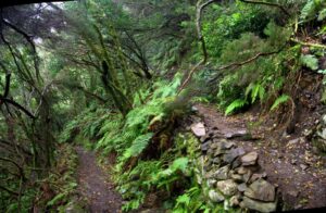
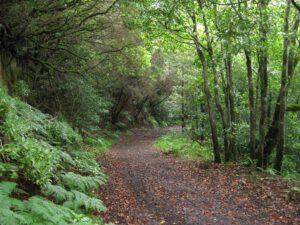
Trade winds pushing against Anaga’s high ground condense into the mist that feeds the laurisilva forest cloaking the upper slopes, a relic woodland that gives way lower down to heather, broom and the terraced plots where locals have long grown vines on ground too steep for almost anything else. The contrast is stark: dense green canopy above, bare volcanic rock and small cultivated ledges nearer the shore.
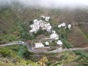
Taganana itself, one of the earliest settlements on the island, sits in a fold of this terrain, its scattered houses and church roof visible from the road that snakes down through hairpin bends from the Cruz del Carmen ridge. The isolation that shaped the village’s slow development is still legible in the landscape — no easy route in, no gentle slope down to the water, just cliff, terrace and sea.
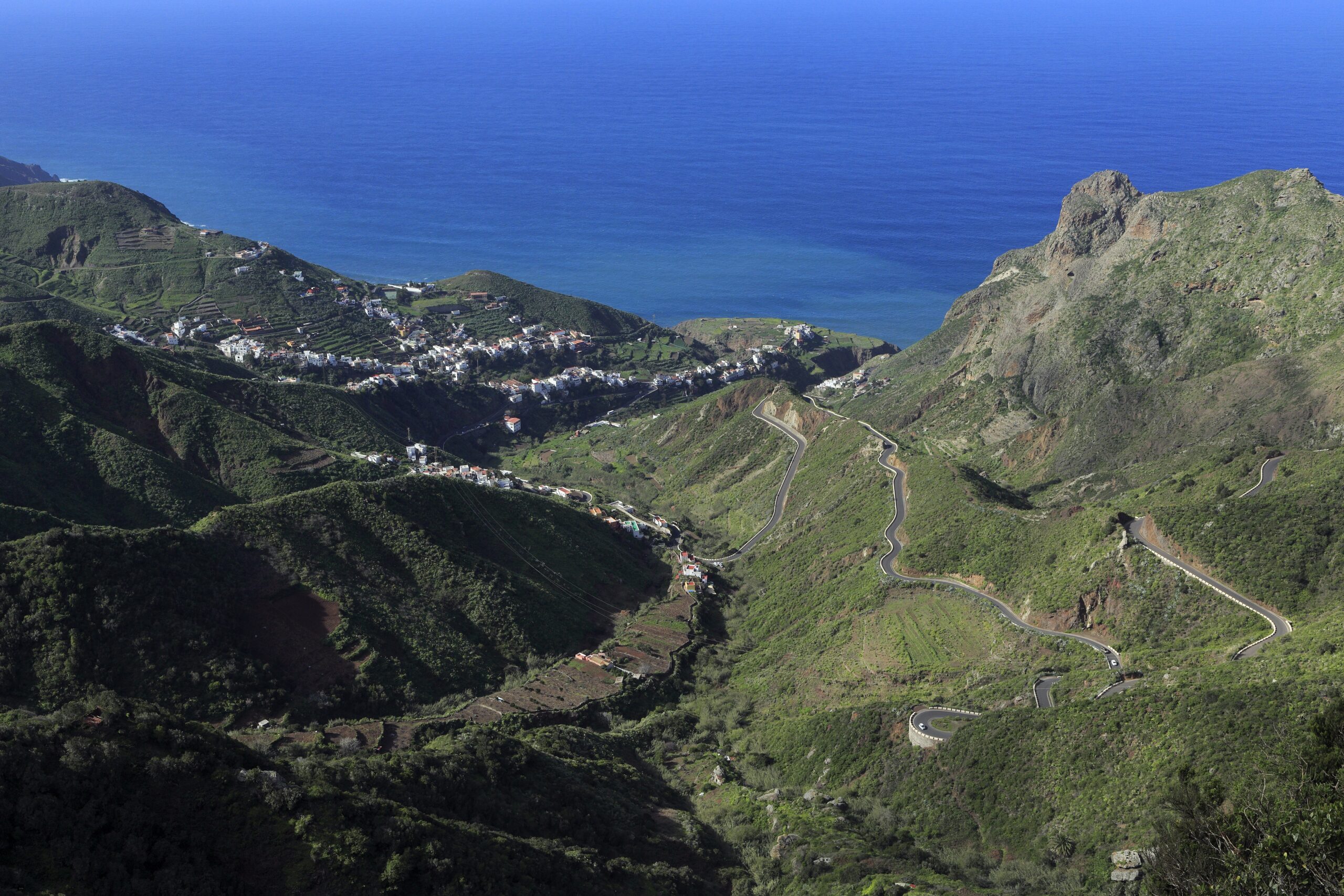
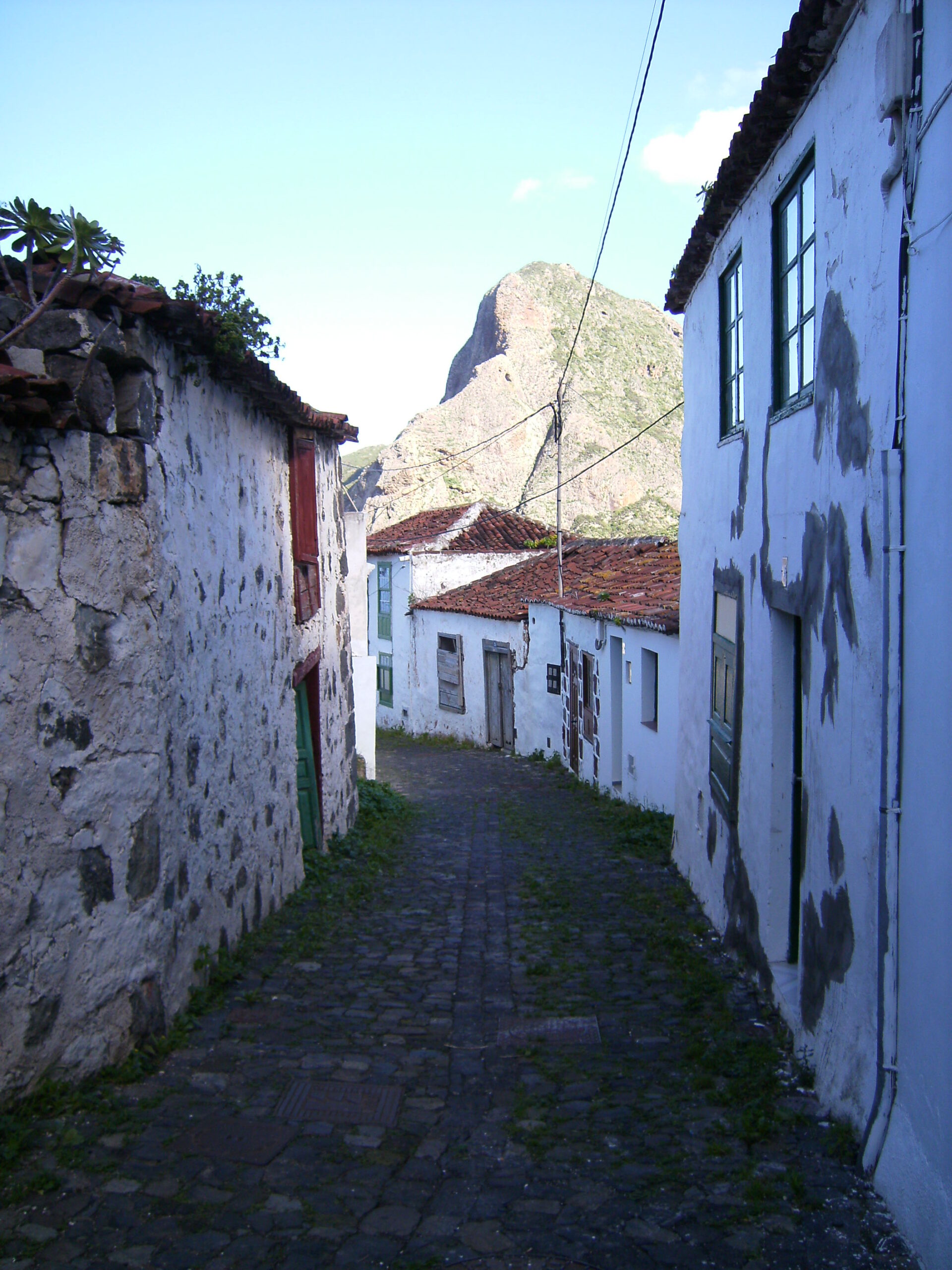
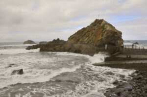
Views from the road and from paths along the ridge take in the full sweep of the coast, where the cliffs meet a restless stretch of open Atlantic with no shelter from the north. It is a working landscape as much as a scenic one, shaped by generations who farmed its edges rather than a coastline arranged for easy viewing.