Anaga
Anaga is a rugged, forest-cloaked mountain massif at Tenerife's north-eastern tip, protected as a rural park of ridges, ravines and remote hamlets.
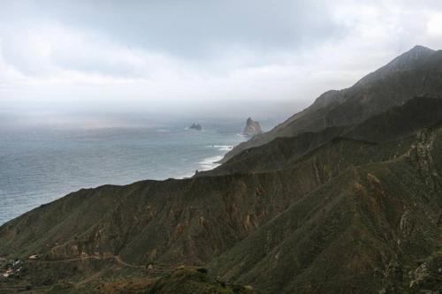
Anaga occupies the north-eastern tip of Tenerife, a knot of ancient volcanic ridges and deep ravines that rises steeply above the coast near Santa Cruz and La Laguna. Much of the area is protected within the Anaga Rural Park, prized for its dense laurisilva forest, a relic of the laurel woodland that once covered much of the Canary Islands and now survives here in a mist-fed tangle of moss, ferns and gnarled trees.
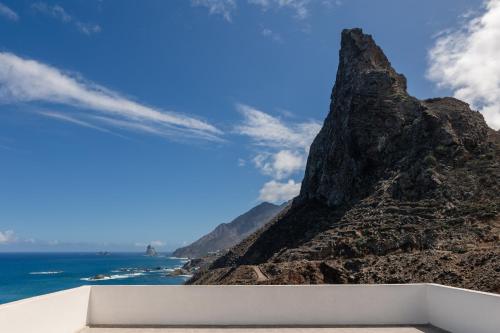
The terrain is dramatic rather than gentle: sharp peaks, plunging cliffs and narrow paths link small, isolated hamlets that cling to the hillsides, many still reached only by winding roads or old footpaths. Cloud frequently gathers along the ridges, giving the massif a shifting, atmospheric character that changes through the day.
As a district, Anaga is defined less by any single sight than by this wider landscape of remote settlements, coastal cliffs and forested peaks, making it a place better explored on foot or by car along its switchback roads than summed up by a single stop.
Places in Anaga
8 places-
01
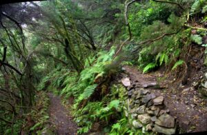 Anaga Forest
Cloud‑Fed Laurisilva on Tenerife’s Ancient Massif
Anaga Forest
Cloud‑Fed Laurisilva on Tenerife’s Ancient Massif
-
02
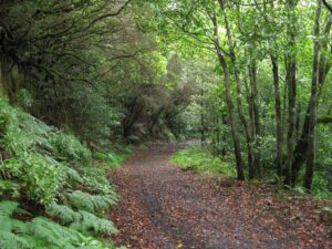 Anaga Rural Park
Tenerife’s Ancient, Cloud‑Fed Northeastern Massif
Anaga Rural Park
Tenerife’s Ancient, Cloud‑Fed Northeastern Massif
-
03
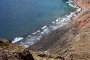 Las Gaviotas
A Black-Sand Cove Below the Anaga Cliffs
Las Gaviotas
A Black-Sand Cove Below the Anaga Cliffs
-
04
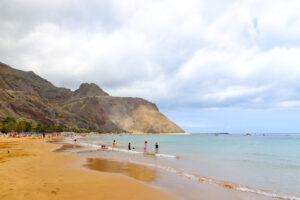 Las Teresitas Beach
Anaga's Sheltered Arc by the Capital
Las Teresitas Beach
Anaga's Sheltered Arc by the Capital
-
05
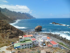 Roque De Las Bodegas
Anaga's Rock-Guarded Shore
Roque De Las Bodegas
Anaga's Rock-Guarded Shore
-
06
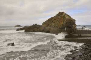 Roque De Las Bodegas Coast
Anaga's Wild Northern Edge
Roque De Las Bodegas Coast
Anaga's Wild Northern Edge
-
07
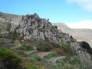 Taganana Cliffs
Anaga's Wall Against the Atlantic
Taganana Cliffs
Anaga's Wall Against the Atlantic
-
08
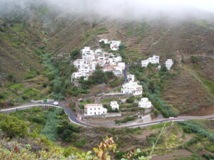 Taganana Village
A Terraced Valley Inside Anaga's Ancient Massif
Taganana Village
A Terraced Valley Inside Anaga's Ancient Massif