Taganana Village
A Terraced Valley Inside Anaga's Ancient Massif
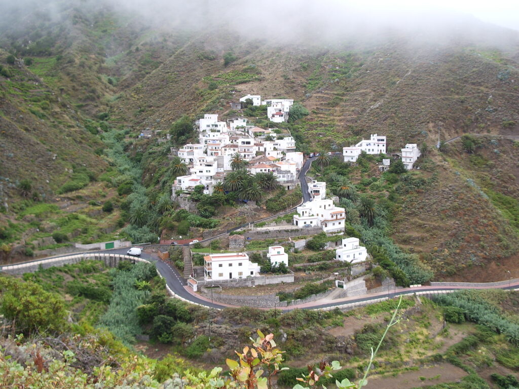
Taganana sits deep in a steep valley on Tenerife's Anaga peninsula, reached by a winding mountain road that drops from laurel-forested ridges to the sea. One of the oldest settlements on the island, it holds onto terraced fields of vines and bananas, whitewashed houses and a slow, isolated rhythm shaped by the terrain around it.
Taganana lies in a deep, folded valley on the northern flank of Anaga, the volcanic massif that forms Tenerife‘s north-eastern tip and predates the rest of the island by millions of years. The village is reached by a narrow road that climbs from the ridges around Cruz del Carmen through dense laurisilva forest before dropping sharply towards the coast, a descent that still feels remote despite its closeness, in a straight line, to the capital.
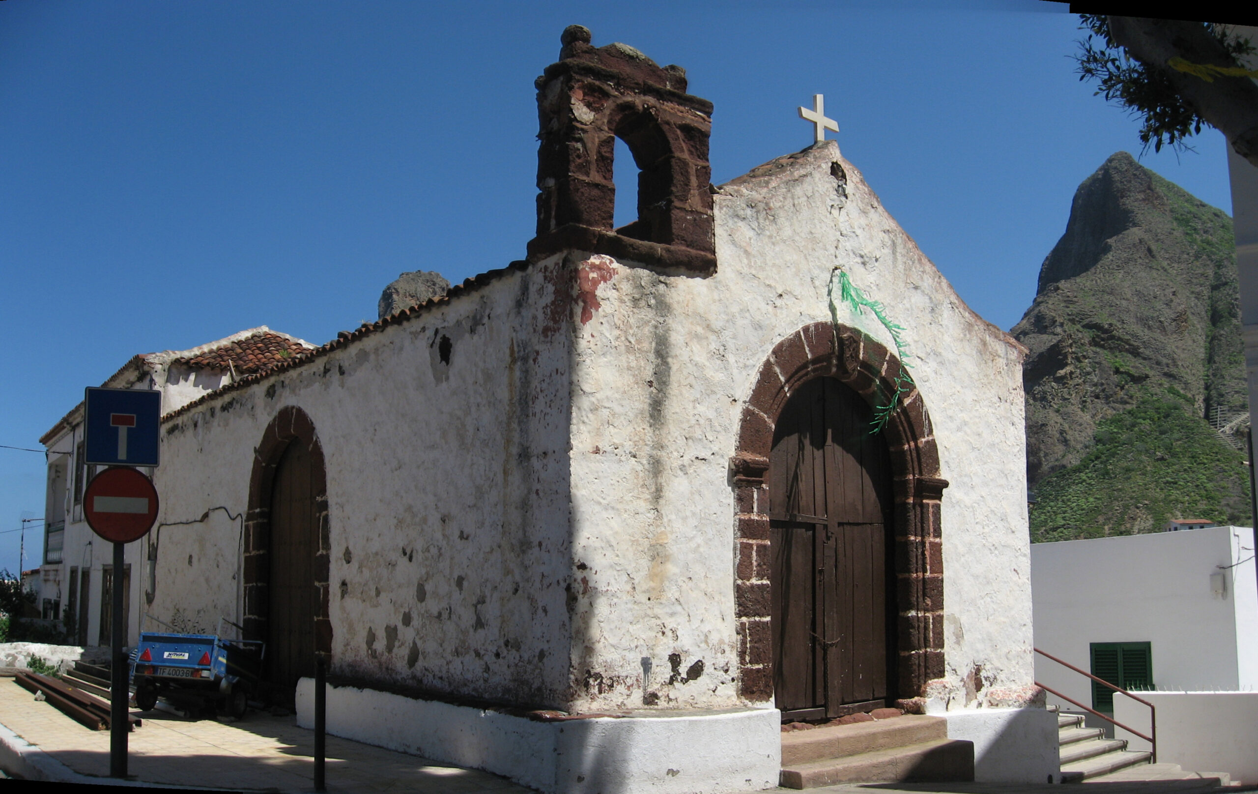
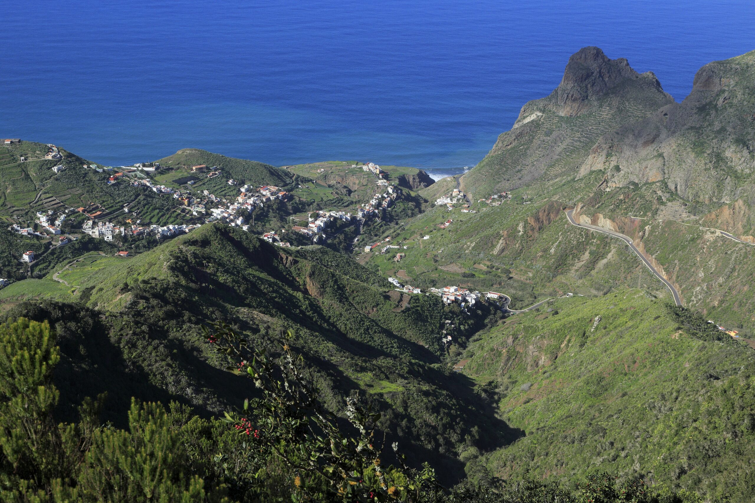
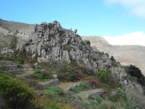
The valley’s steep sides are cut into terraces, a pattern of stone-walled fields that has shaped this part of Anaga for generations. Vines and banana plants grow on the levelled ground, wedged between rock faces too steep for anything but hand cultivation, a landscape that owes as much to necessity as to tradition. The trade winds that catch on Anaga’s peaks feed the laurisilva above the village with near-constant moisture, while the valley floor itself sits in a drier, sheltered pocket closer to the sea.
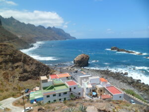
Houses in Taganana follow the vernacular pattern common across rural Tenerife: whitewashed walls, small windows against the wind, and tiled roofs clustered tightly along the lanes that thread the slope. The settlement’s age shows in this compactness, a village built for a landscape that offered little flat ground and demanded that every terrace and rooftop be used with care.
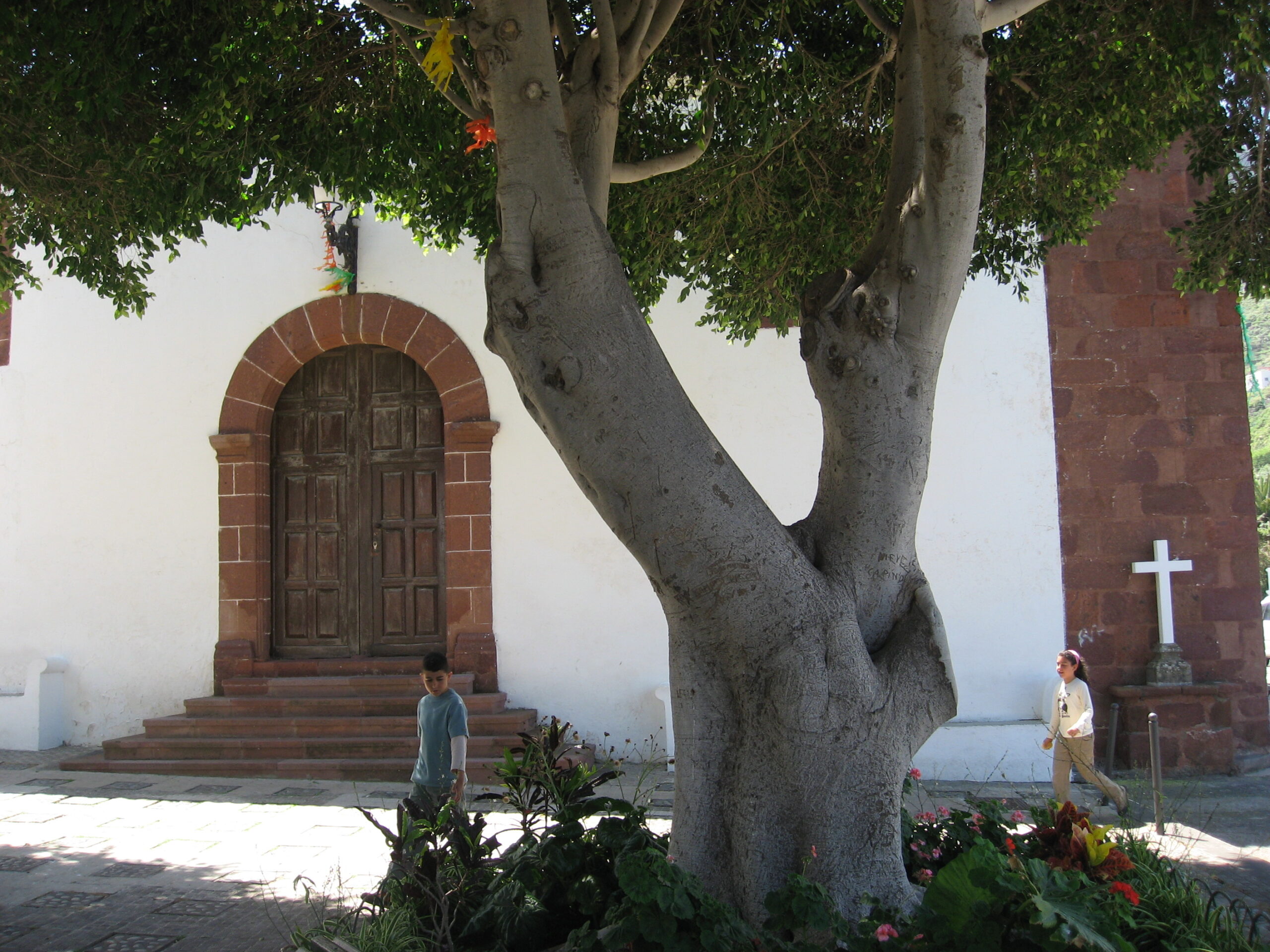
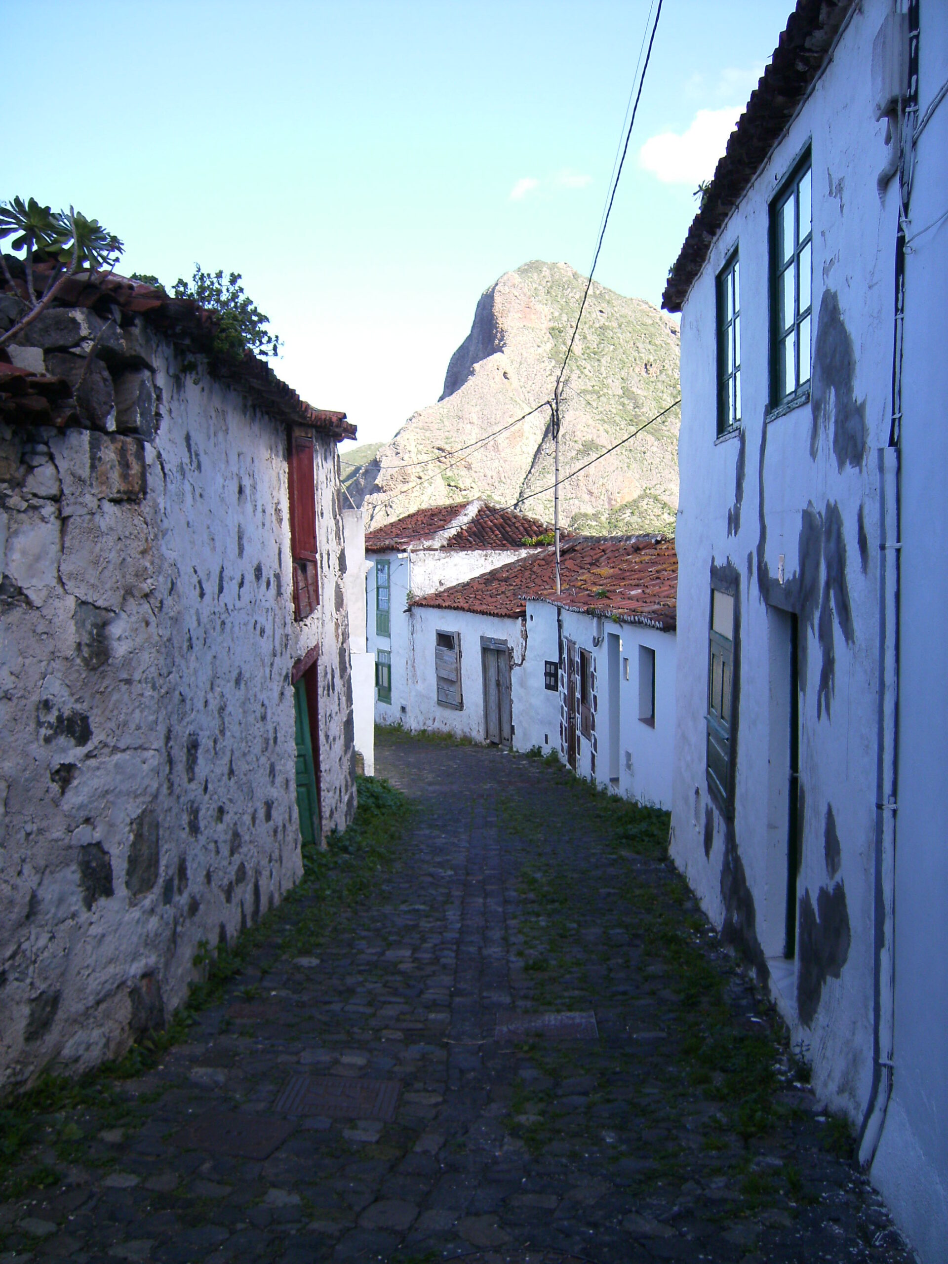
Anaga’s isolation, a result of its jagged ridges and lack of easy routes through, kept Taganana apart from the rest of Tenerife for centuries, and something of that separateness lingers. The road in remains the main link, winding between forest and cliff, and the sea below marks the point where the mountains finally give way to the coast.