
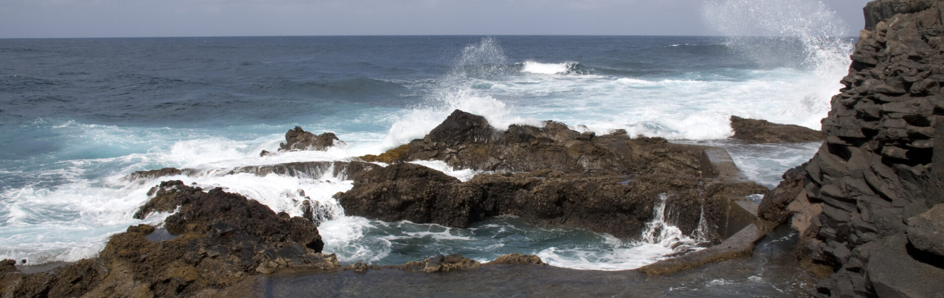
The Barlovento Coast is one of La Palma’s most dramatic shorelines, shaped by trade‑wind clouds, steep volcanic cliffs and deep green vegetation. Exposed to the Atlantic and backed by forested slopes, it forms the island’s wild northeastern edge.
The Barlovento Coast occupies the northeastern corner of La Palma, a region defined by steep volcanic cliffs, constant trade‑wind exposure and deep green vegetation fed by moisture drifting in from the Atlantic. This is one of the island’s wildest stretches of shoreline, where forested slopes drop sharply toward a rugged, wave‑cut coast.
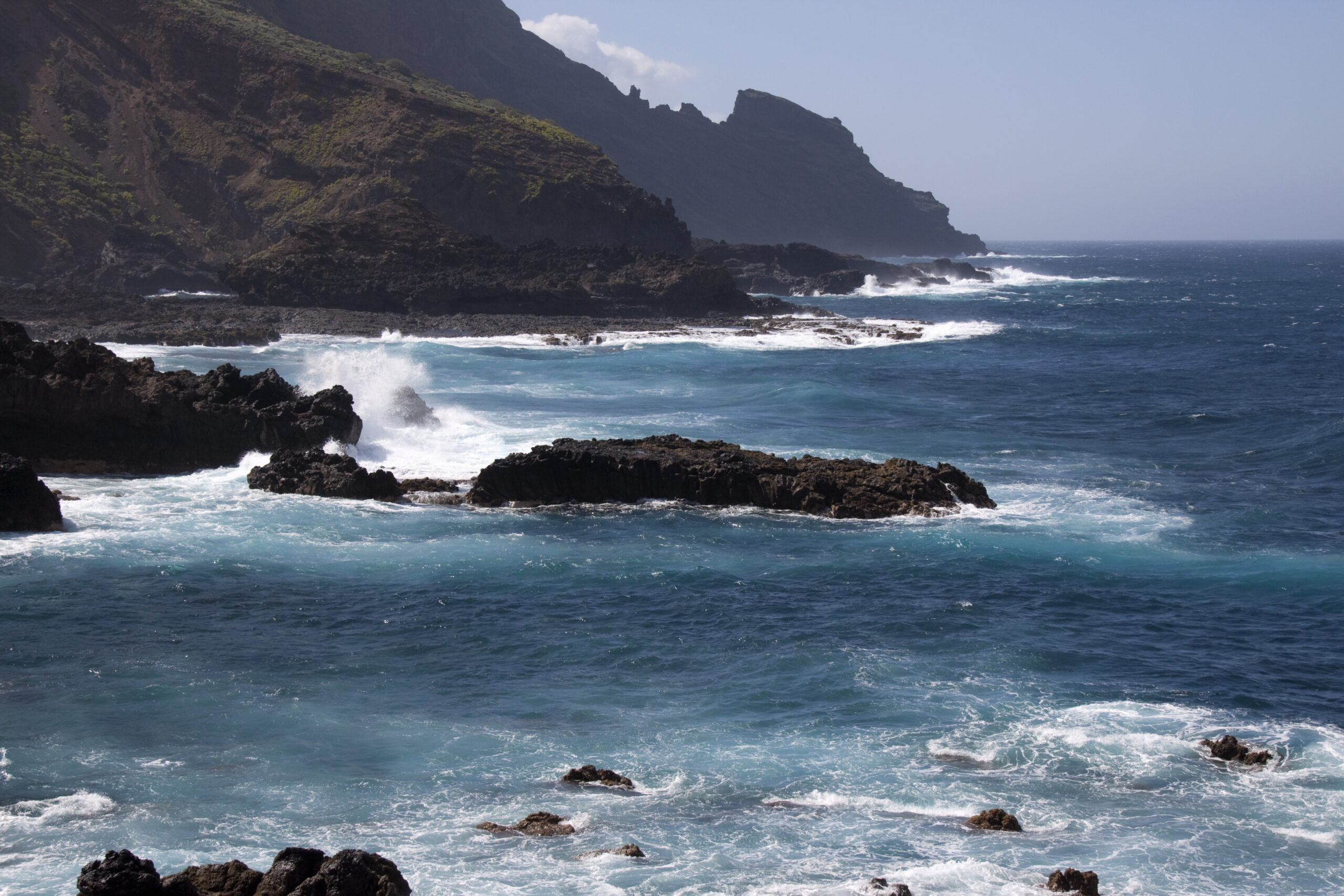
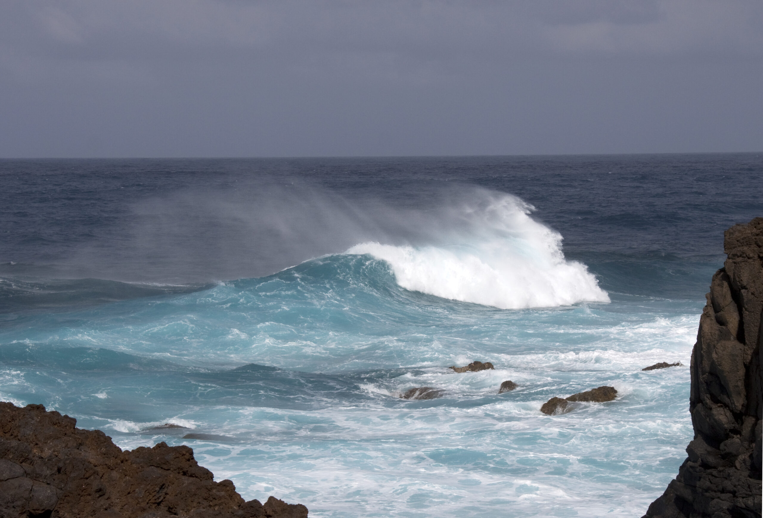
The terrain is shaped by the alisios — the northeast trade winds that carry cloud inland and keep the region cooler and wetter than the island’s west. Mist often clings to the upper slopes while the coastline remains clear, creating a landscape where bright Atlantic light meets dense, cloud‑fed greenery.
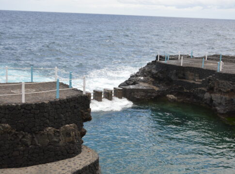
The cliffs are high and irregular, cut by ravines that run from the forest belt down to the sea. Small terraces and pockets of agriculture appear in sheltered corners, but much of the coast remains raw volcanic ground, with dark rock meeting open ocean swell.
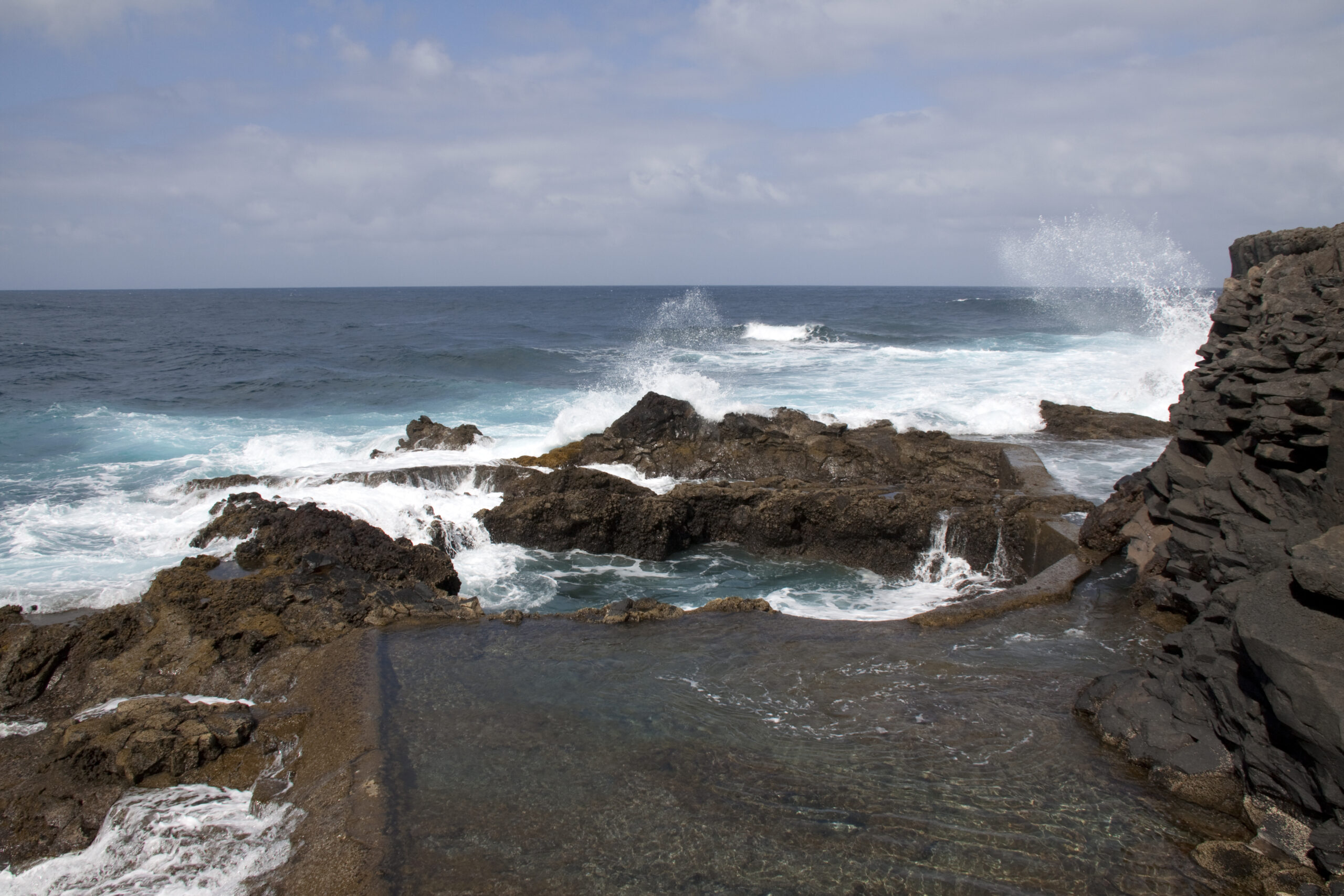
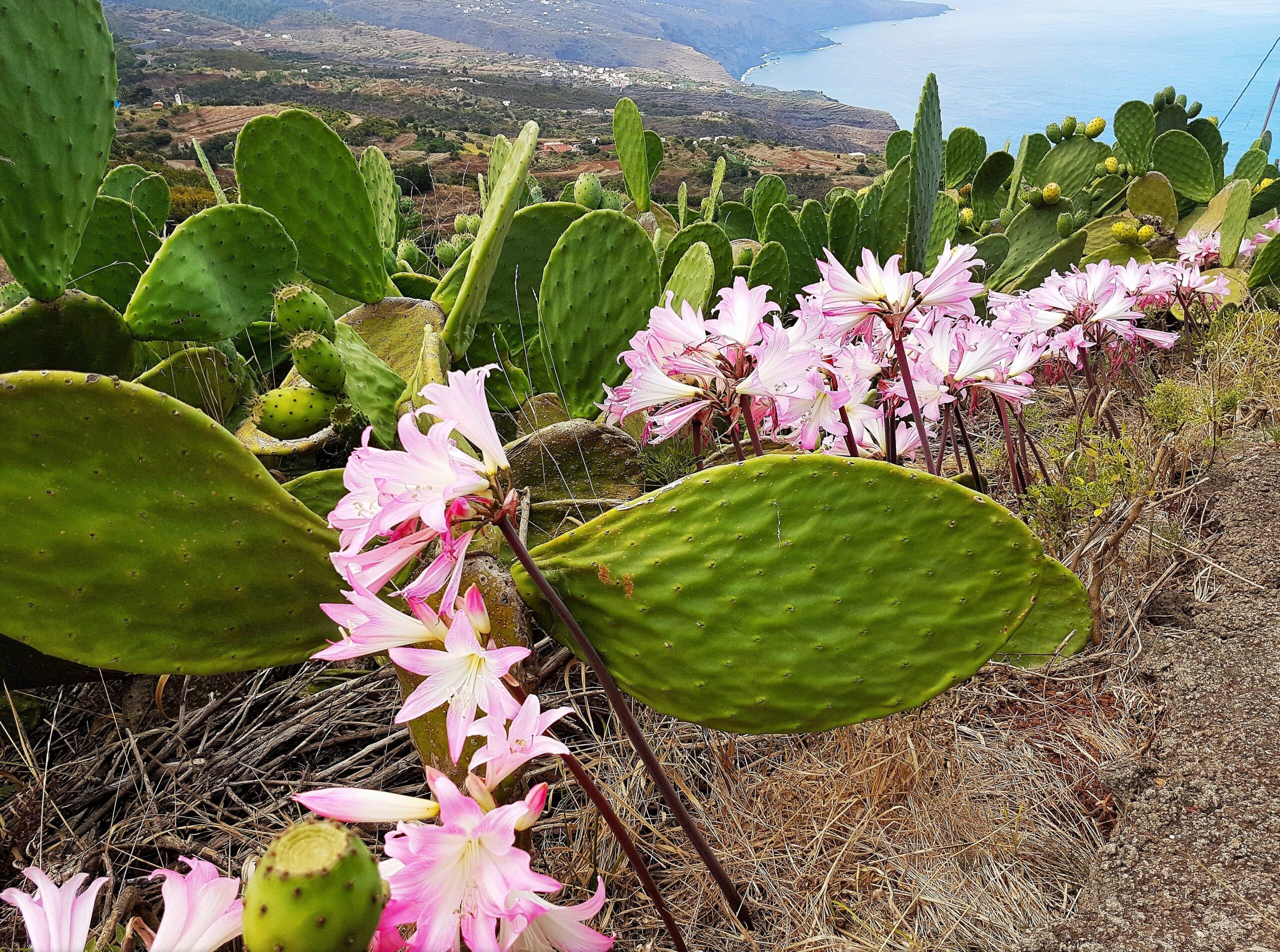
Walking paths trace sections of the cliffs, opening onto views north toward the Atlantic and south along the folded terrain that leads toward Los Sauces and the wider forest zone. The atmosphere is quiet, wind‑washed and shaped by the constant presence of the ocean below.
For visitors exploring La Palma’s northeast, the Barlovento Coast offers a clear sense of the island’s wetter, greener side — a dramatic meeting of volcanic cliffs, trade‑wind cloud and open Atlantic horizon.
🏛 Similar places


🏨 Hotels nearby
No hotels found.