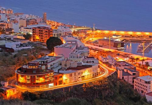
Caldera de Taburiente (Los Llanos)
La Palma’s Green Amphitheatre
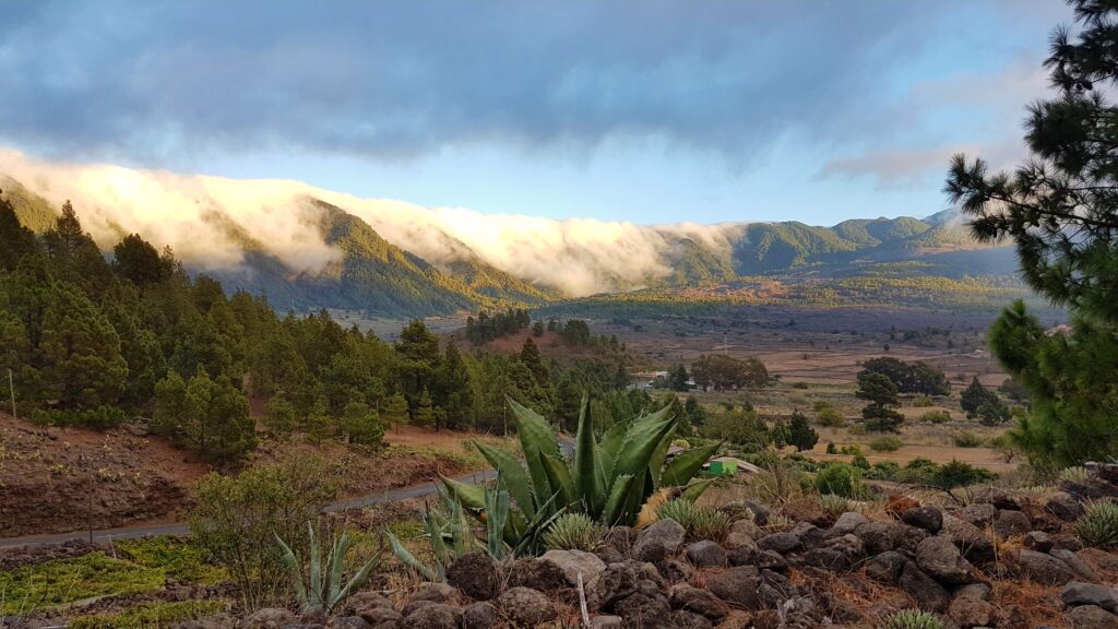
Caldera de Taburiente is a colossal erosion basin at the heart of La Palma, reached inland from Los Llanos. Pine forest, cloud‑caught ridges and steep volcanic walls shape one of the Canary Islands’ most dramatic protected landscapes.
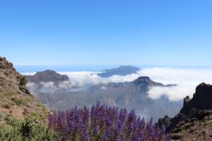
Caldera de Taburiente forms the geological core of northern La Palma, a colossal natural basin carved not by a single eruption but by millennia of water and wind working on ancient volcanic rock. Seen from above, it reads as a huge green crater; on the ground, it unfolds as a labyrinth of ravines, cliffs and pine‑clad slopes enclosing a valley that channels rain and mist into the streams feeding the Barranco de las Angustias, the only breach in its walls.
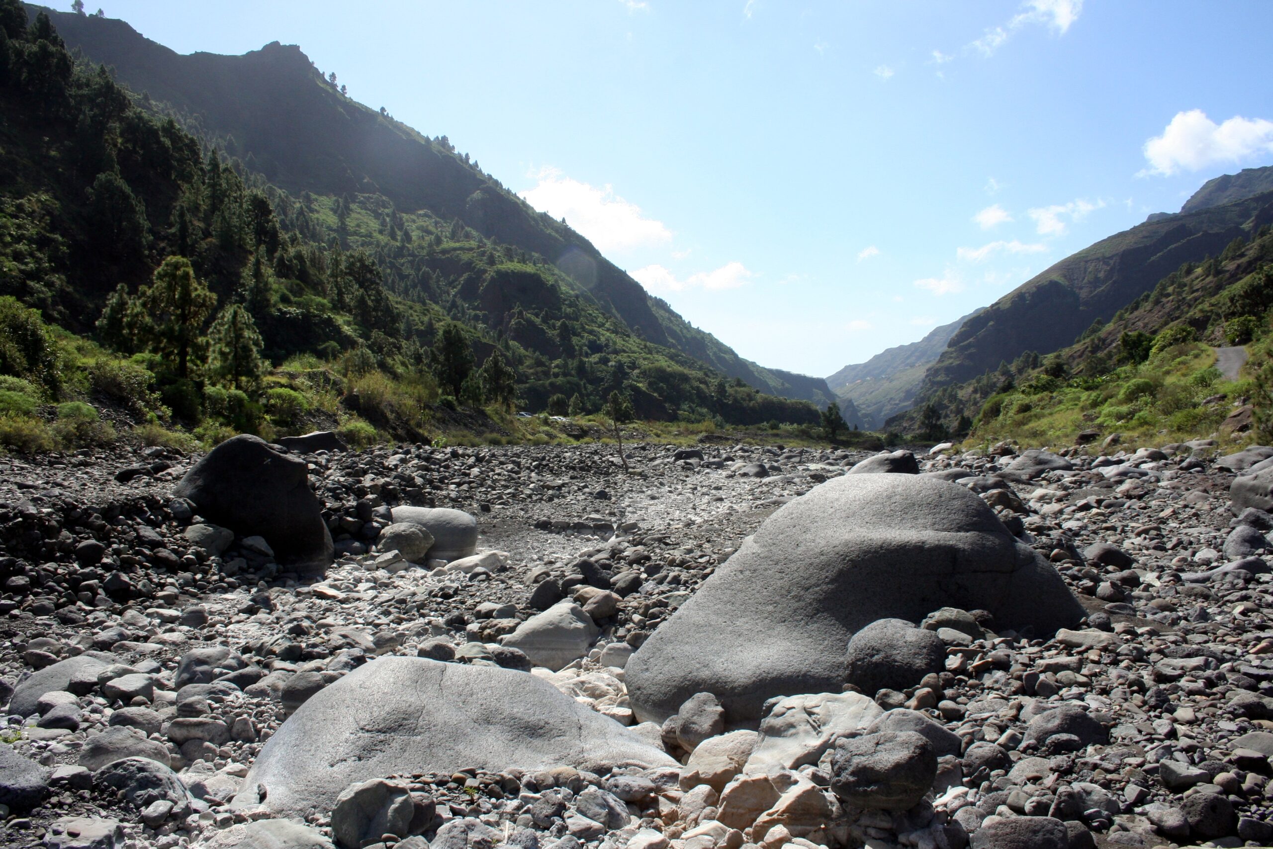
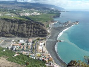
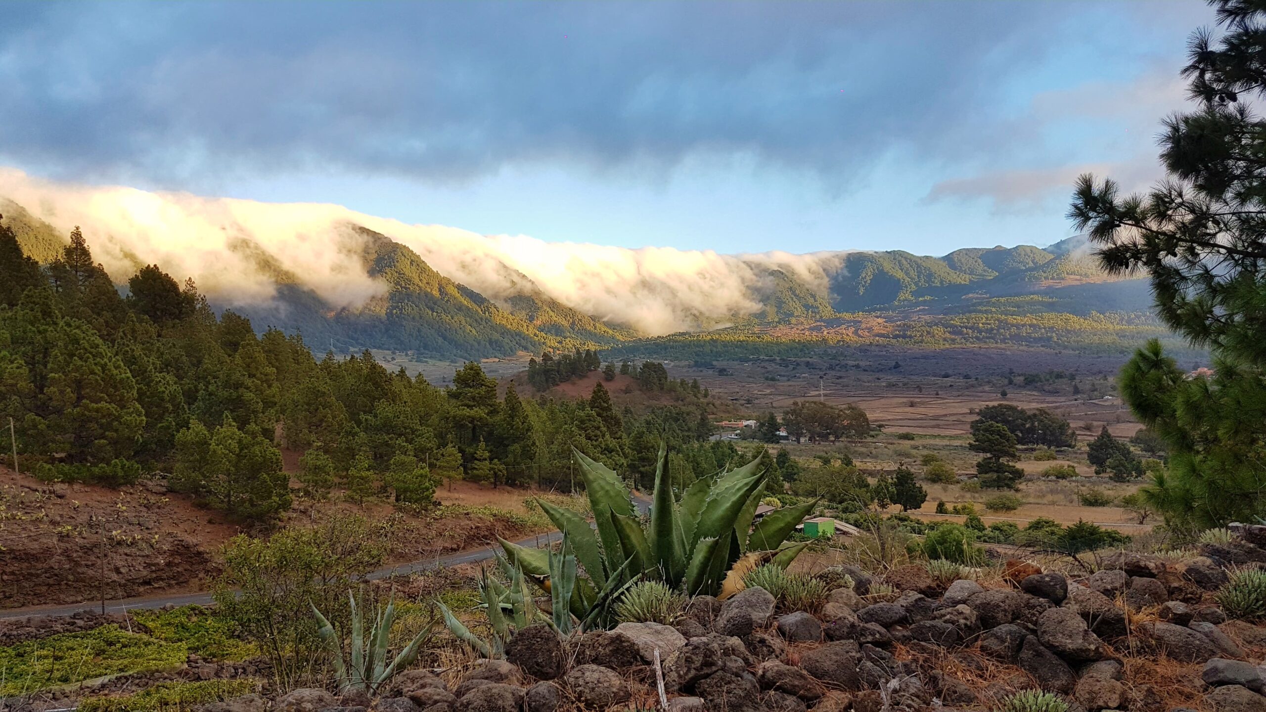
The approach from Los Llanos and the wider Aridane Valley climbs steadily from banana plantations and lava terraces on the coastal plain into cooler, wetter terrain. Canary pine dominates the upper slopes, its long needles adapted to trap moisture carried in on the trade winds, while damper corners of the basin support pockets of laurel forest, ferns and mosses thriving in shade and near‑constant humidity.
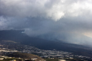
Inside the caldera, paths follow old shepherds’ and water‑collection routes along the valley floor and up toward the surrounding ridges, passing springs, small waterfalls and stands of pine that have colonised bare volcanic rock over centuries. The scale of the enclosing walls, and the way cloud regularly pools within them, gives the interior a hushed, self‑contained atmosphere quite different from the open coastline below.
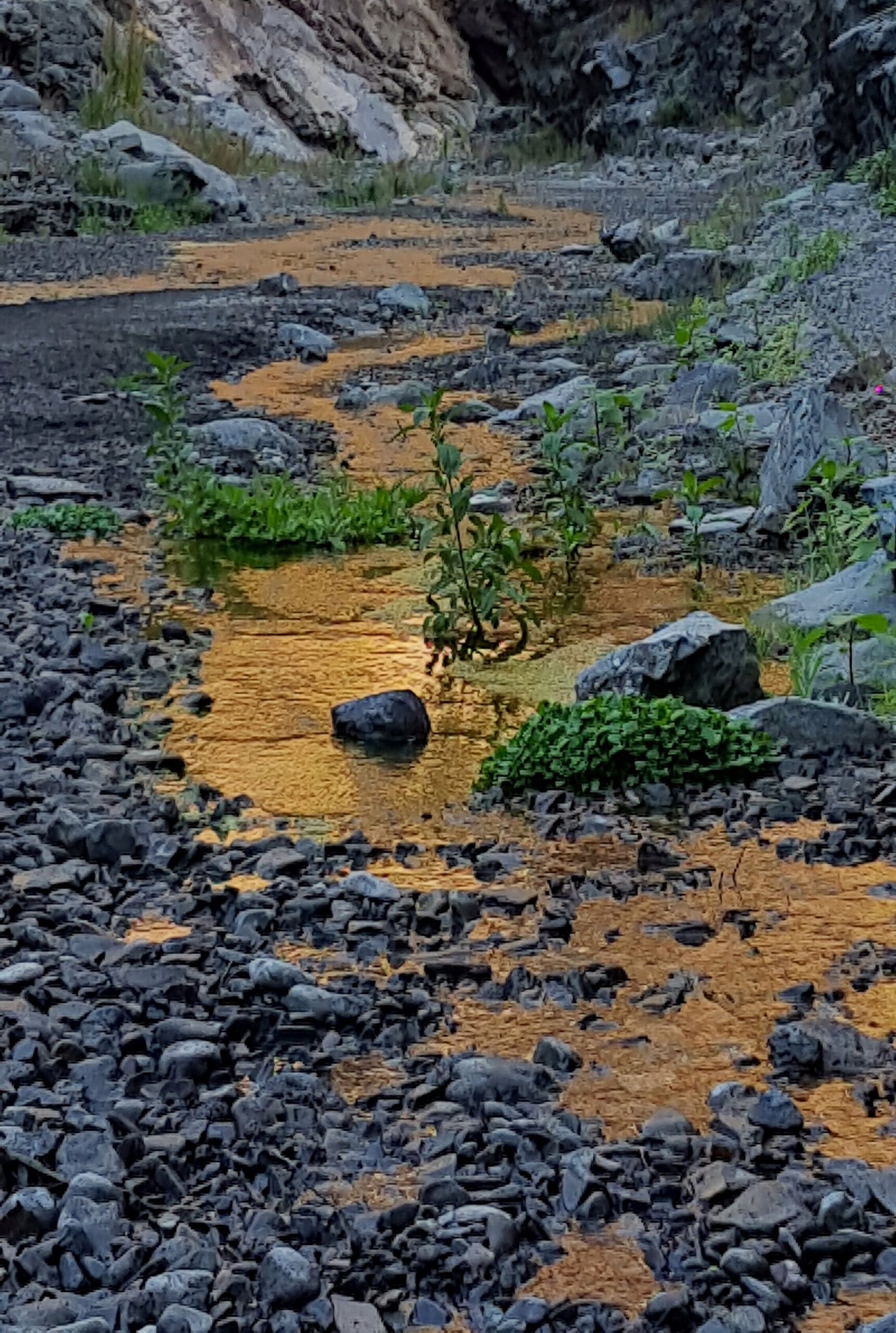
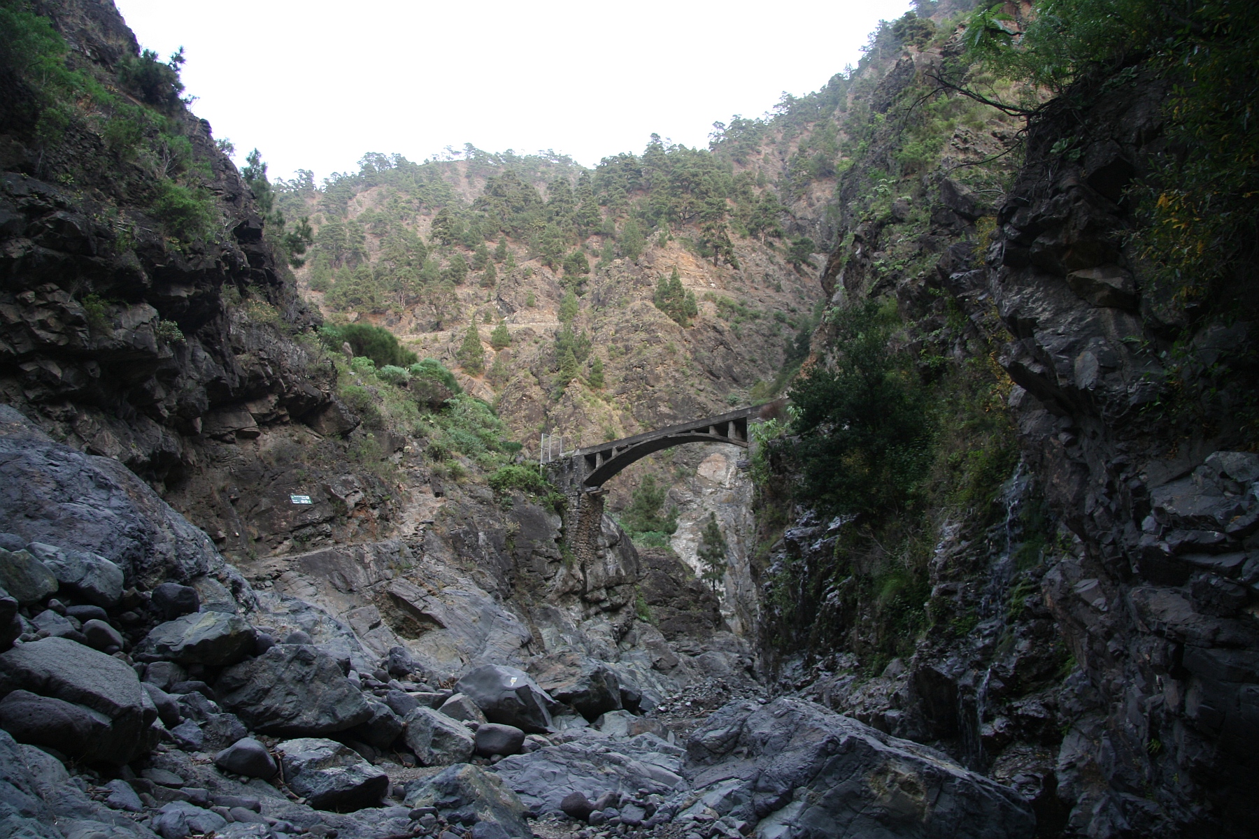
The Caldera de Taburiente was not created by a single explosive event but by hundreds of thousands of years of erosion acting on an ancient volcanic shield. Rain, streams and seasonal torrents carved deep ravines into the basalt, gradually collapsing the interior and forming the vast basin seen today.
- basalt layers exposed along the caldera walls
- ravines shaped by persistent water flow
- rockfalls contributing to the widening of the basin
- volcanic soils supporting pine and laurel vegetation
This long geological process makes the caldera one of the most readable erosion landscapes in the Canary Islands, where volcanic origins and water‑driven change meet in a single terrain.
As one of the oldest protected natural spaces in the Canary Islands, the caldera remains a working example of how volcanic geology and microclimates shape both landscape and vegetation. For visitors based around Los Llanos, it offers a direct contrast to the sunlit western coast: a cooler, greener, more enclosed world just a short drive inland.
The upper slopes of the Caldera de Taburiente support a distinctive mix of high‑altitude vegetation shaped by moisture, shade and volcanic ground. Canary Island pine dominates the ridges, its long needles designed to trap cloud‑borne water and channel it towards the roots.
- laurel remnants survive in shaded gullies
- ferns and mosses thrive in humid corners
- pines regenerate quickly after fire
- scrub species colonise exposed volcanic soil
Together these plants form one of La Palma’s most resilient mountain ecosystems, adapted to steep terrain and constant shifts between sun, mist and wind.