Caldera de Taburiente (La Caldera)
La Palma’s Green Volcanic Amphitheatre
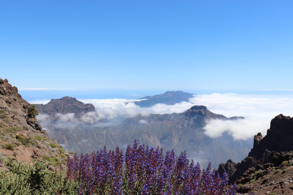
Caldera de Taburiente is a vast erosion crater at the centre of La Palma, ringed by sheer volcanic cliffs and filled with pine forest, springs and running water. Its bowl-shaped interior forms the island’s principal national park, shaped by centuries of rain, mist and the Barranco de las Angustias below.
Caldera de Taburiente sits at the physical and symbolic centre of La Palma, a huge depression ringed by near-vertical rock walls that mark the eroded remains of the island’s ancient volcanic shield. Despite its name, the caldera was not blasted out by a single eruption but carved slowly by water, as rivers and rain cut through layers of basalt, ash and pillow lava over hundreds of thousands of years.
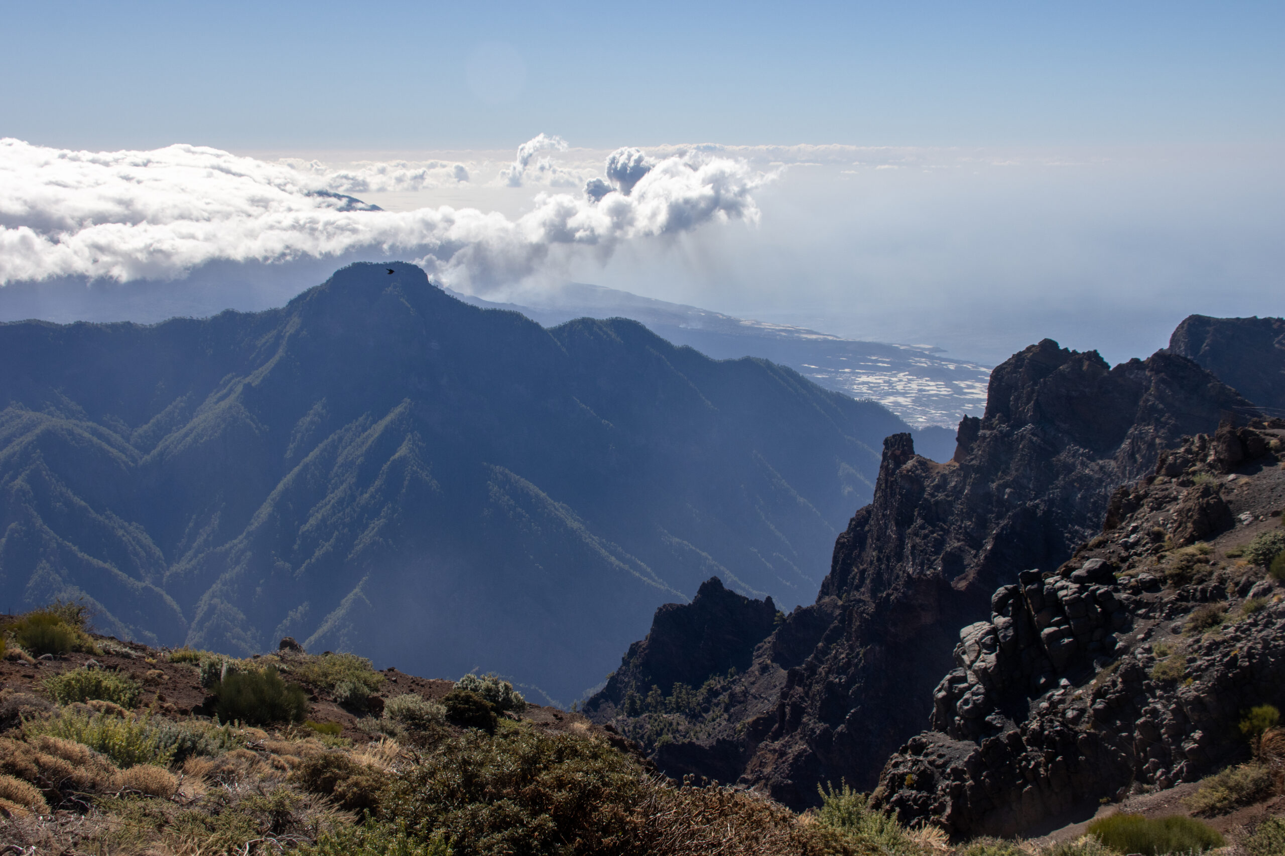
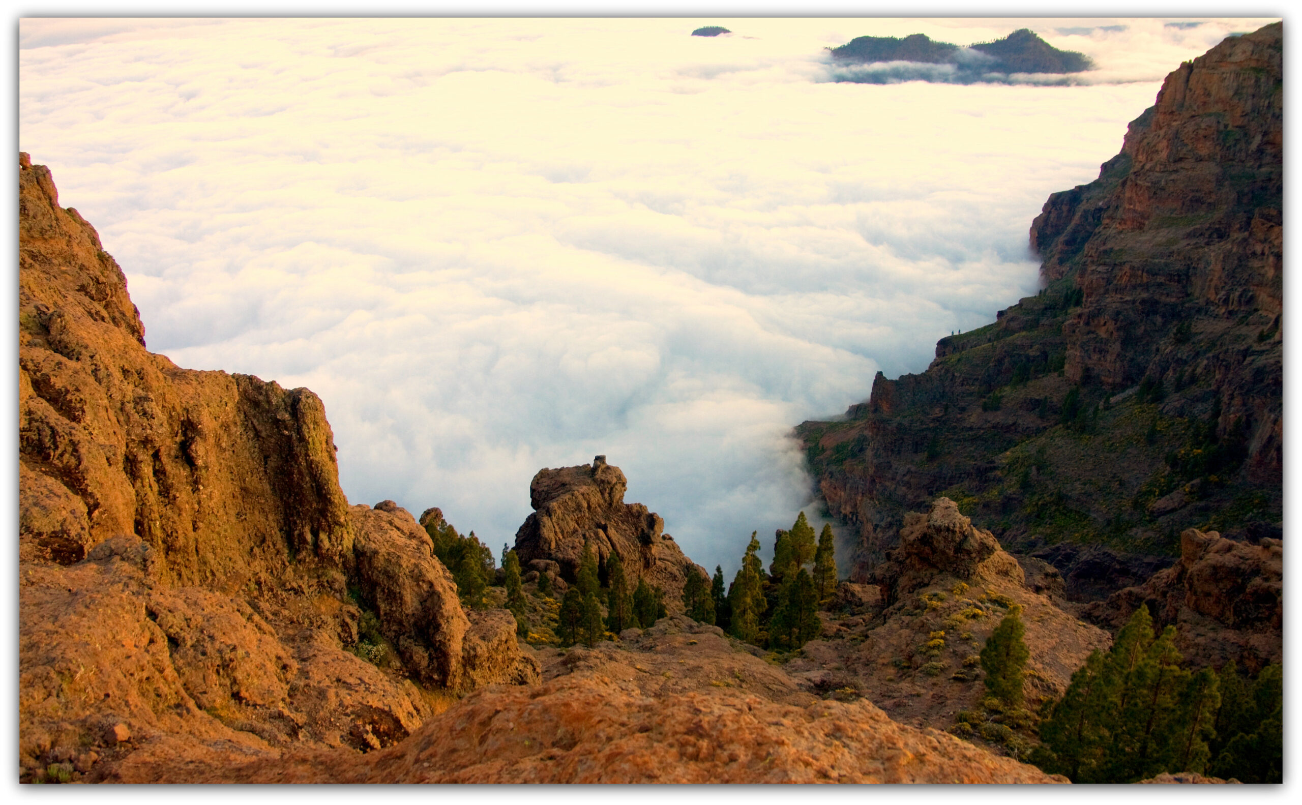
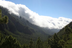
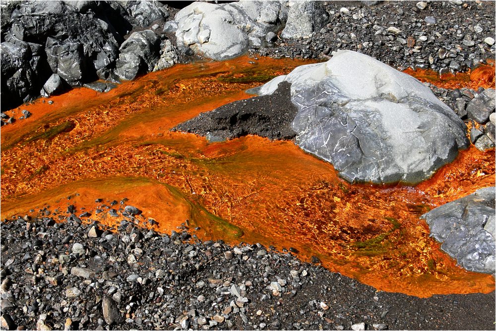
Inside the bowl, the terrain shifts sharply with altitude. Canary pine forest covers much of the middle slopes, its long needles trapping moisture from the trade-wind clouds and feeding the springs that gather into streams at the caldera floor. These waters eventually funnel out through the Barranco de las Angustias, the steep-sided gorge that forms the crater’s only natural drainage and its historic route in and out on foot.
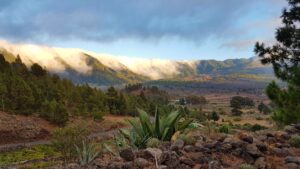
The upper rim, reaching toward the island’s highest ground near Roque de los Muchachos, stands well above the cloud layer that so often fills the valley below. The contrast between the damp, forested interior and the clear, dry air along the crest is one of the defining experiences of the park, and the same atmospheric stability later drew astronomical observatories to the caldera’s upper slopes.
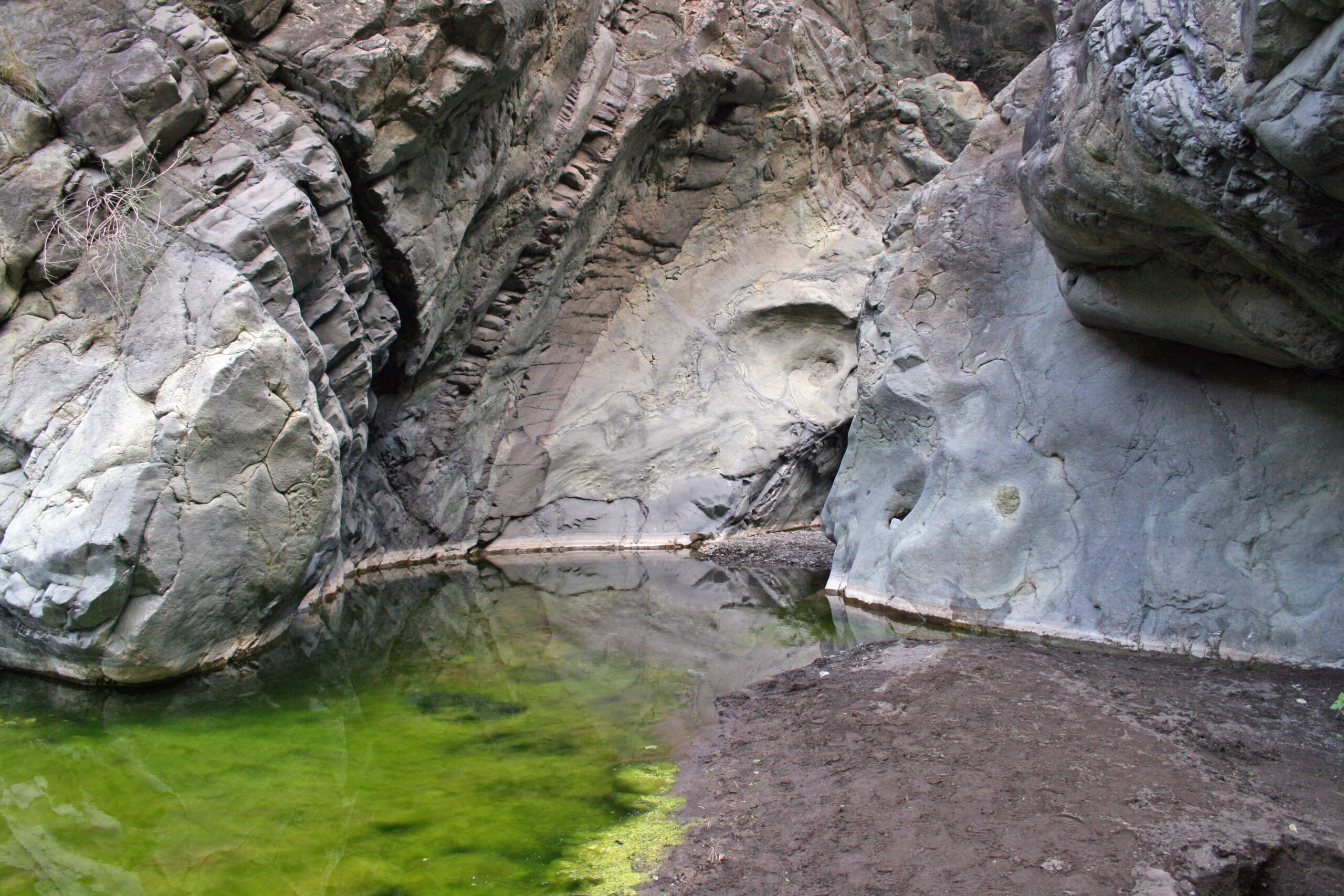
As the heart of one of the Canary Islands’ national parks, the area is left largely to natural processes: laurel remnants cling to shaded gullies, pines regenerate after fire with resin-rich resilience, and the valley floor remains difficult of access, reachable mainly along the watercourse itself. It is a landscape best understood on foot and at a slow pace, where the scale of the walls only becomes apparent once you are standing beneath them.