Arguineguín Coast
Where the Barranco Meets the Atlantic
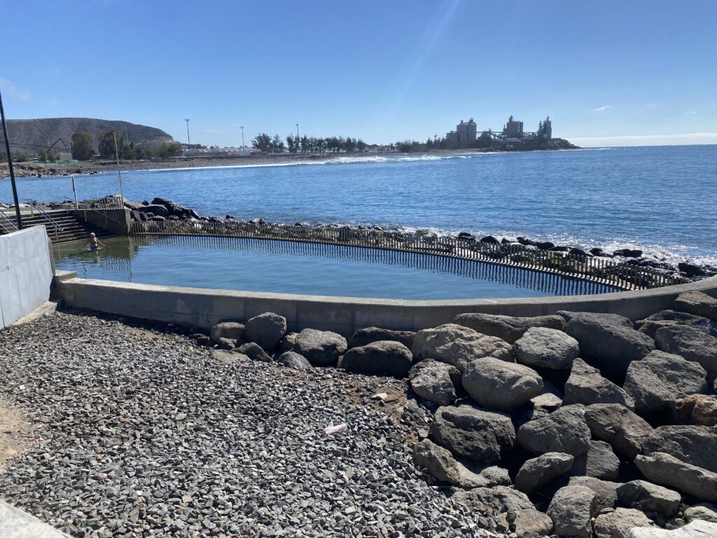
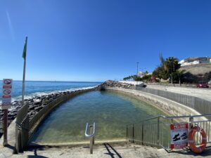
The Arguineguín coastline lies on Gran Canaria’s dry southern flank, where the Barranco de Arguineguín cuts down from the interior to meet the Atlantic. Dark volcanic rock, scrub‑covered slopes and a working harbour give this coast a character shaped by fishing and geology rather than resort development alone.
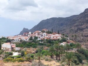
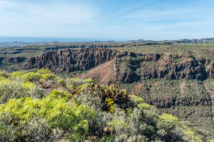
The coast at Arguineguín sits within the Mogán municipality, on the arid southern side of Gran Canaria where the trade winds that soak the north lose most of their moisture before arriving. The result is a landscape of pale, sun‑bleached slopes and dark volcanic rock running down to the water, with hardy scrub — tabaiba, aulaga and saltbush — clinging to the barranco walls above the shore.
The Barranco de Arguineguín, one of the island’s principal ravines, funnels rainwater from the central highlands down through a wide, dry channel that reaches the sea here. It is a reminder that even Gran Canaria’s driest coasts are shaped by occasional torrential run‑off rather than steady rivers. Where the barranco meets the Atlantic, the shoreline breaks into small coves and rocky points, its volcanic strata exposed along the water’s edge.
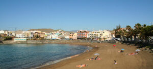
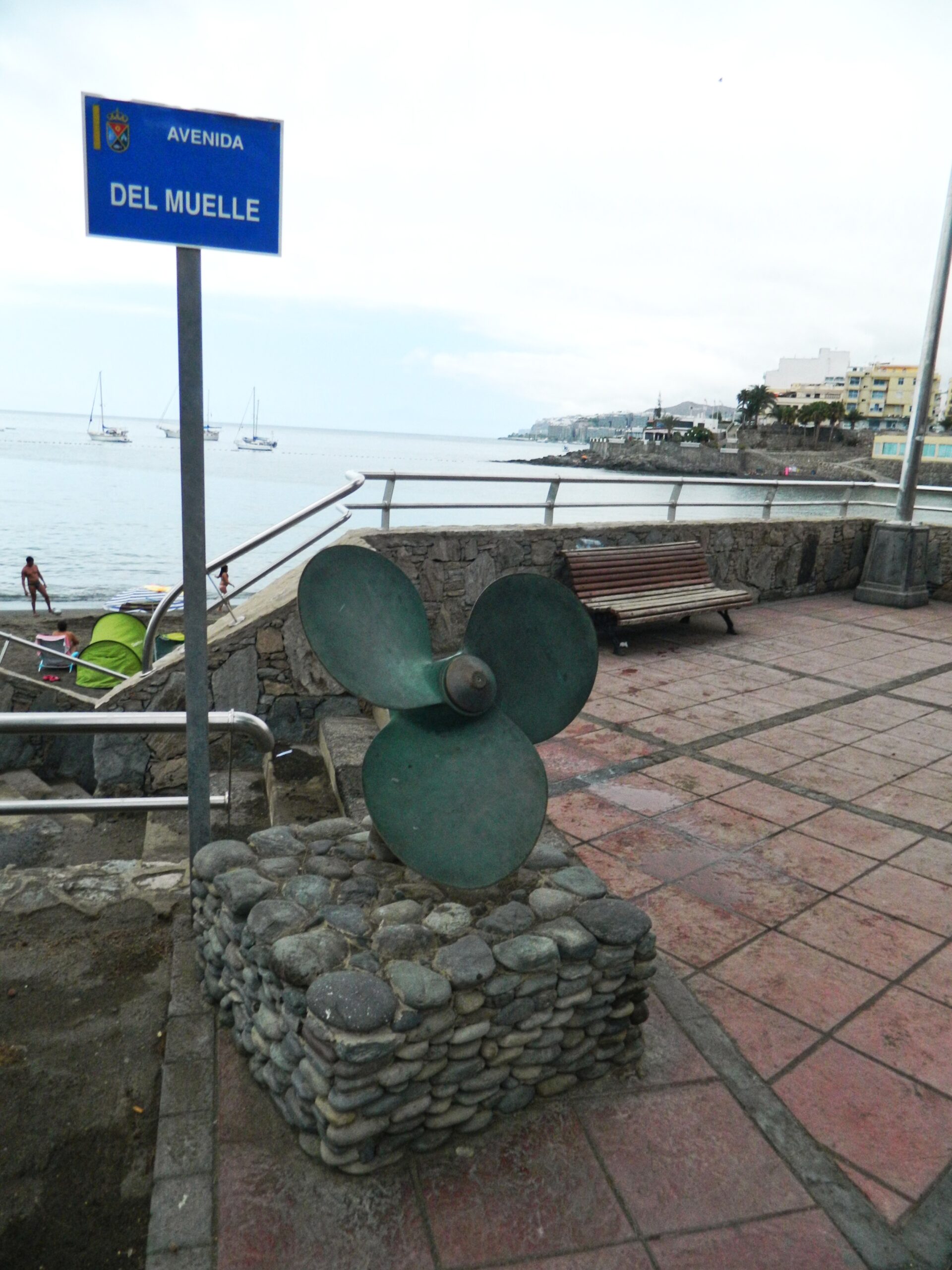
Arguineguín grew as a fishing settlement long before the southern coast became a holiday destination, and that history remains visible in the harbour, where local boats work alongside the leisure craft now common along this shore. The coastline keeps a working, unpolished character that sets it apart from the more manicured resort beaches further along the Mogán coastline.
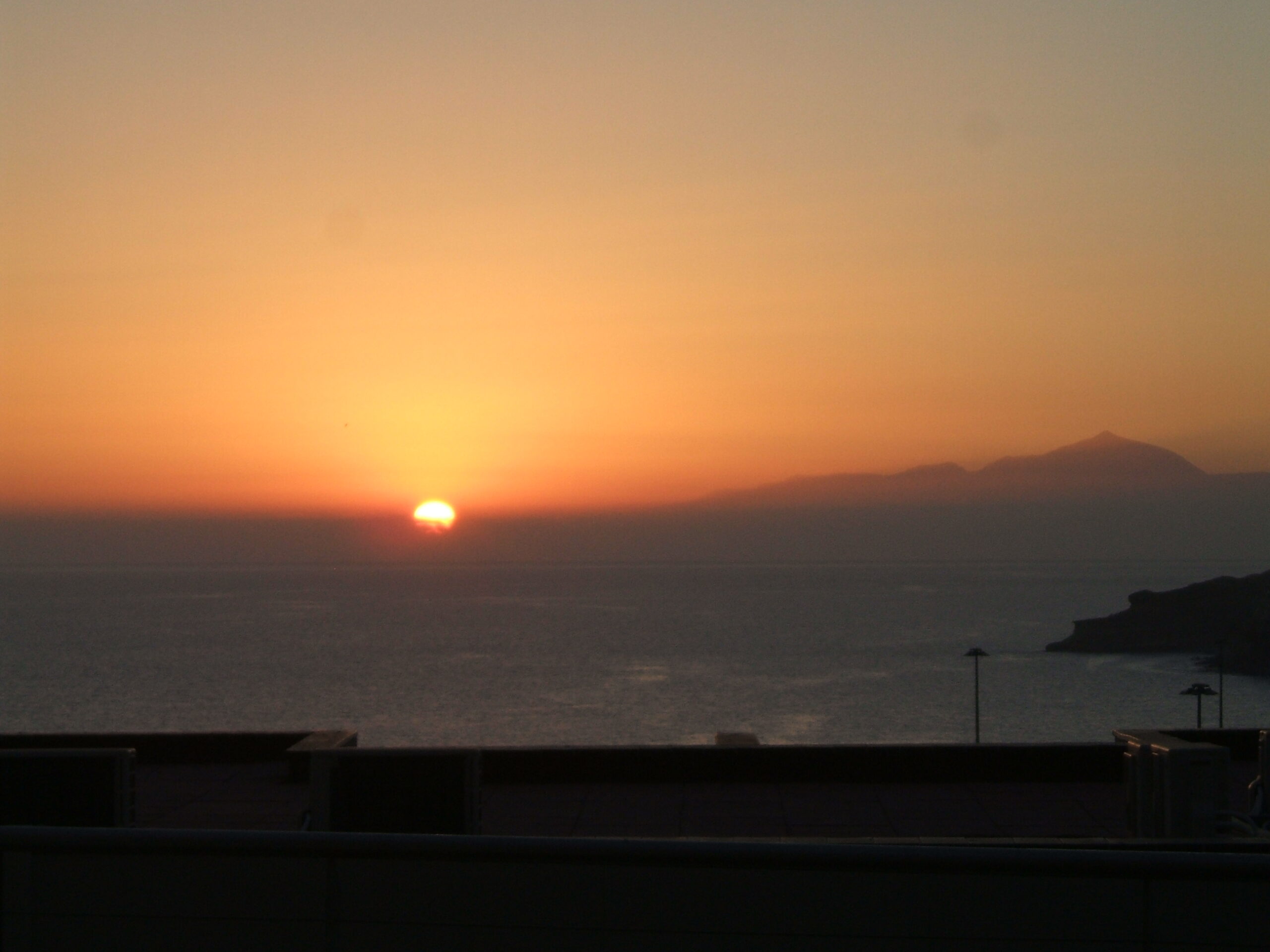
Light here is sharp and constant for much of the year, shaped by the rain‑shadow climate that defines Gran Canaria’s south. Afternoons often bring a haze of calima dust blown across from the Sahara, softening the horizon over the water and giving the coast a warm‑toned atmosphere found nowhere else on the island’s wetter northern side.