Maspalomas Lighthouse
Sentinel of the Southern Dunes
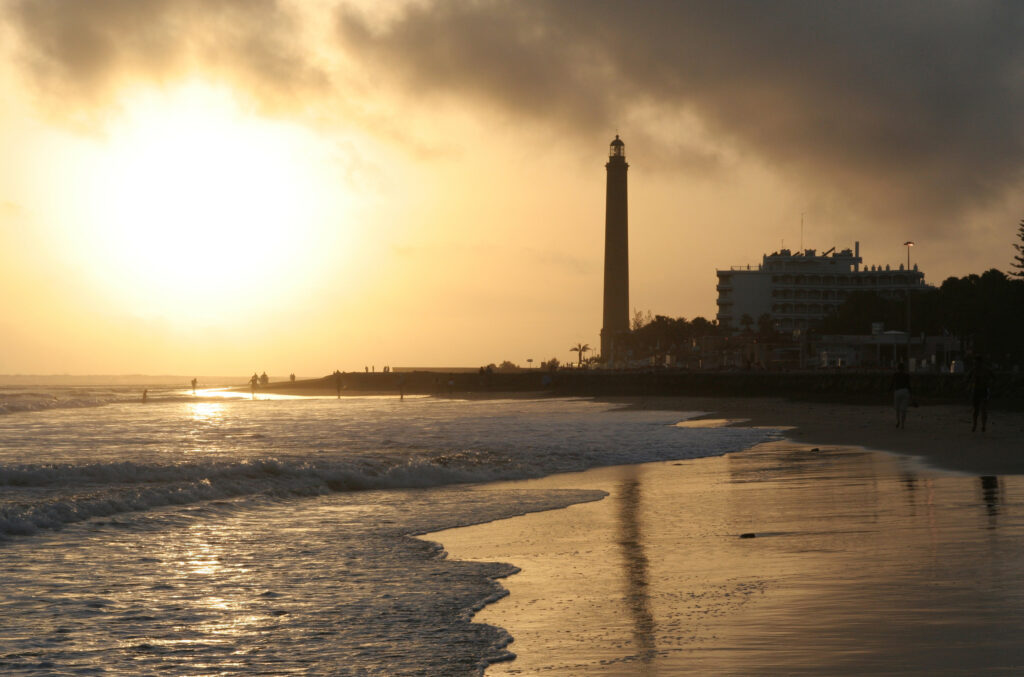
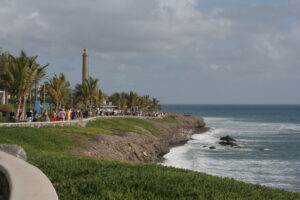
Standing where the Maspalomas dunes give way to the Atlantic, this lighthouse marks the southernmost point of Gran Canaria. It has long served as a navigational reference for ships passing the island’s exposed southern coast, and today anchors the promenade and resort area that has grown up around it.
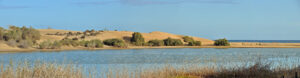
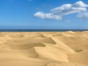
The lighthouse (Faro de Maspalomas) stands at the point where the wind‑shaped dunes of Maspalomas meet open water, on the southern tip of Gran Canaria where the island’s volcanic bulk finally runs out of land. This is the driest, sunniest corner of the island, shielded from the damp trade‑wind clouds that gather over the north and centre, and the light has for generations served as a fixed marker for vessels navigating this exposed stretch of coast.
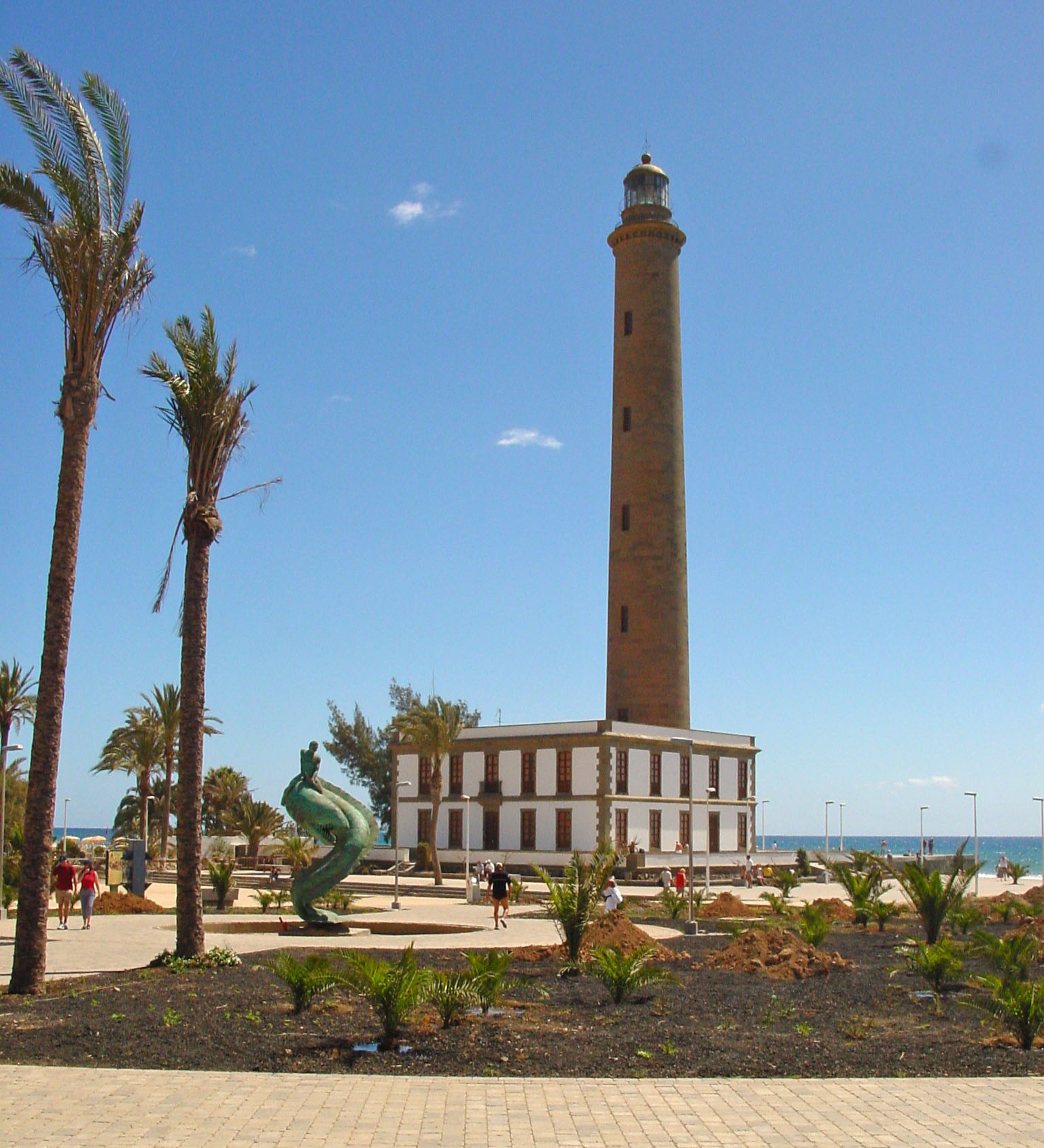
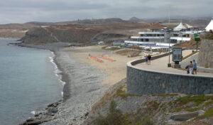
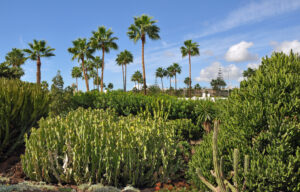
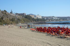
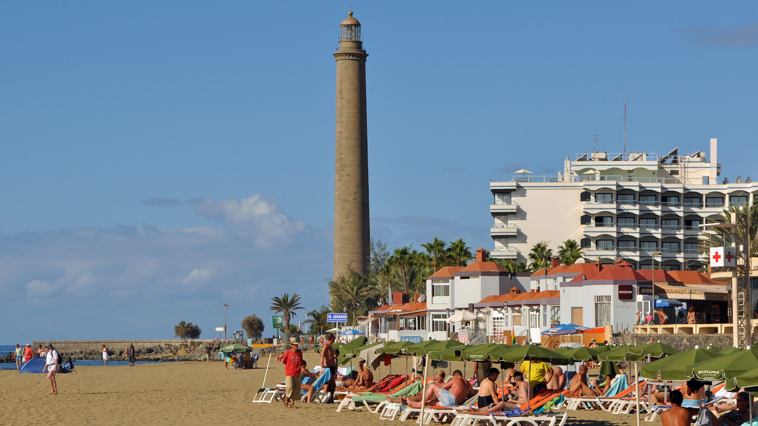
Around it, the palm‑fringed promenade and low‑rise streets of the Maspalomas and Playa del Inglés resort area have grown outward over the decades, so that the tower now stands at the meeting point of two very different landscapes: the protected dune system to the west, with its shifting sand ridges and salt‑tolerant scrub, and the built‑up seafront to the east, with its restaurants, shops and holiday apartments.
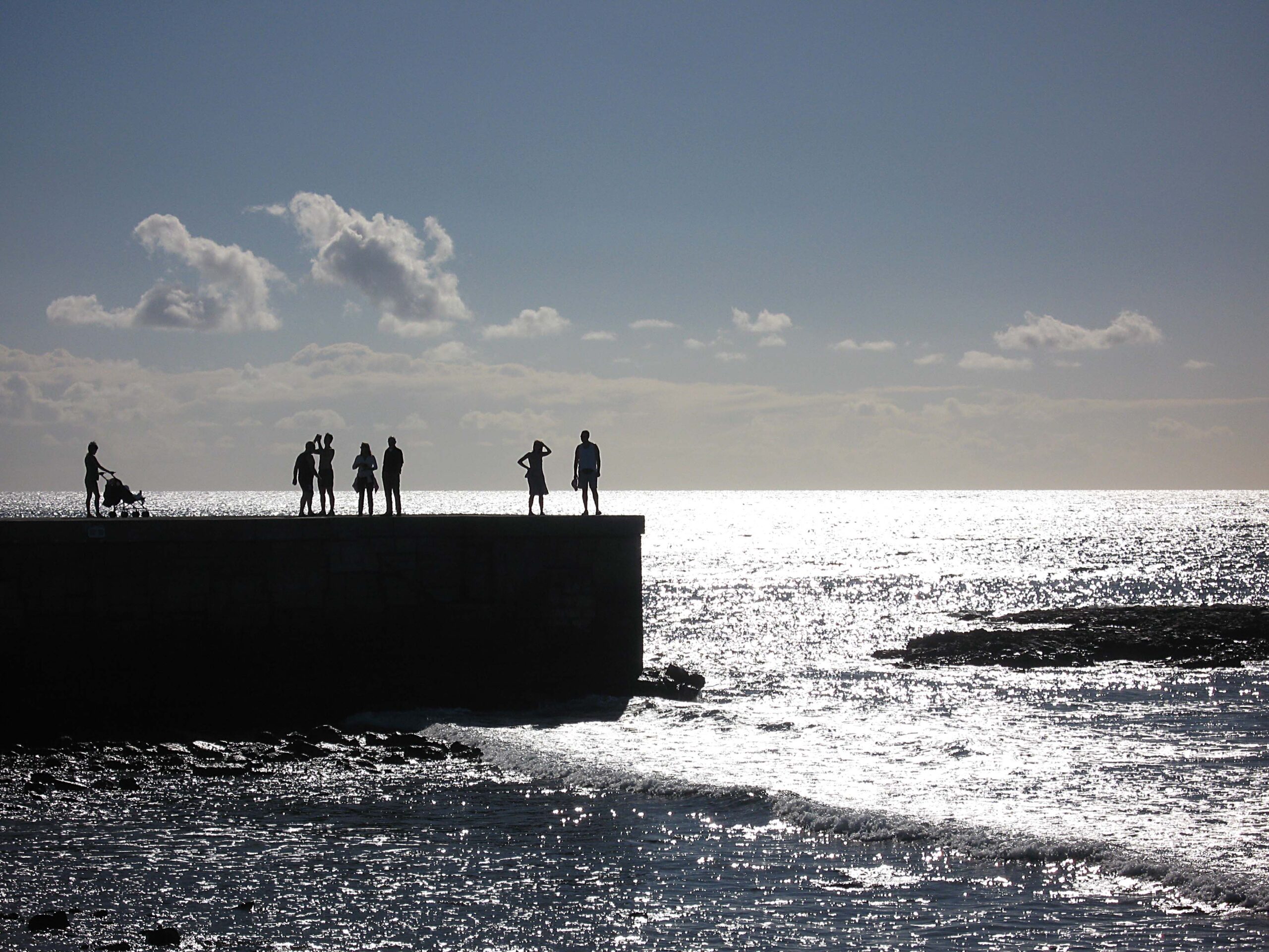
It remains a natural point of reference for anyone exploring the area on foot, whether arriving from the dunes themselves or walking the length of the beachfront. The open horizon to the south, uninterrupted by other islands or landmasses, gives a clear sense of Gran Canaria’s position in the Atlantic, well beyond the shelter of the archipelago’s more protected channels.
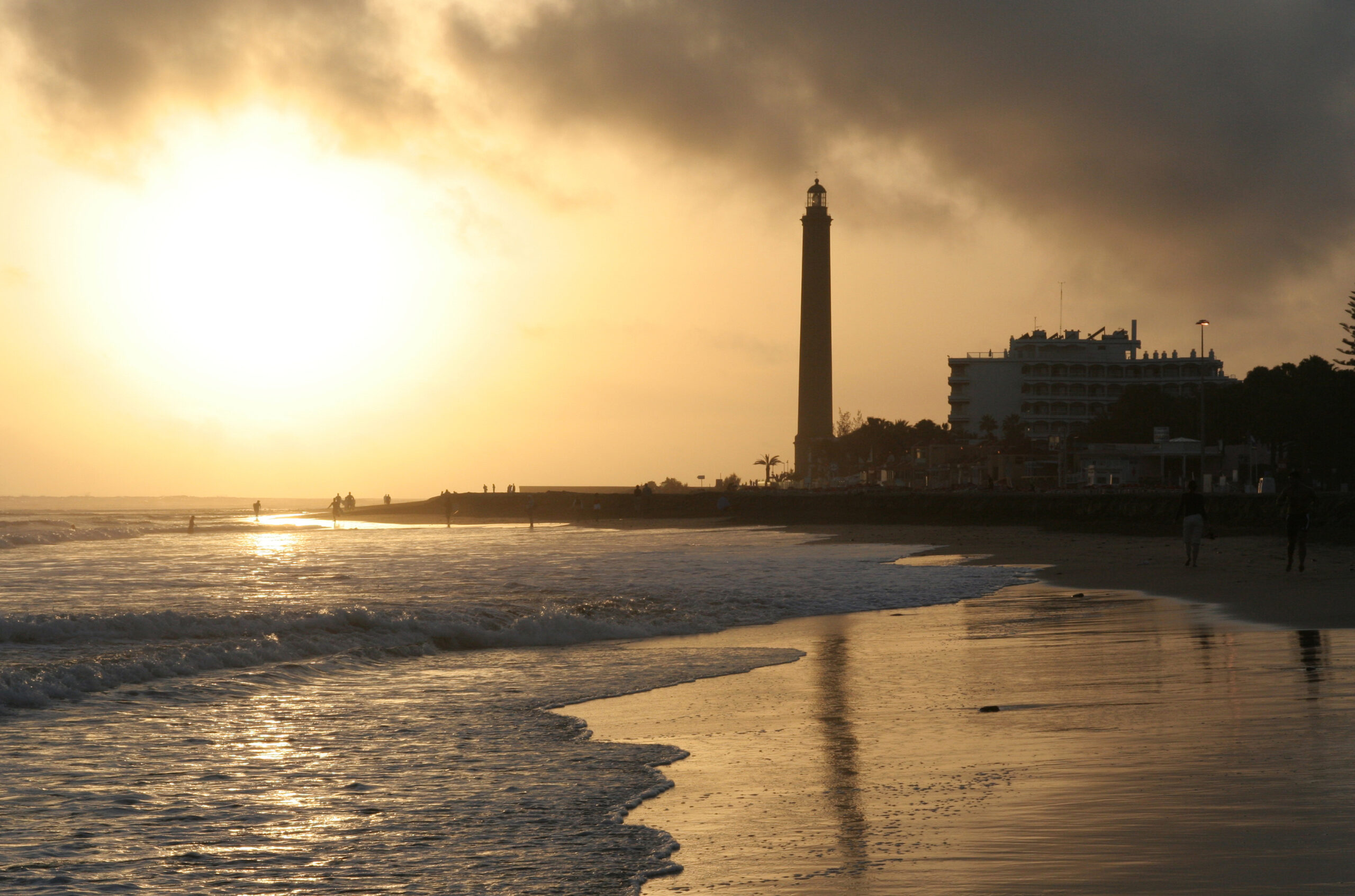
Late afternoon is a particularly rewarding time to be nearby, as the low sun catches the sand grains carried on the wind and throws long shadows across the dune crests, with the tower silhouetted against the sky as the light begins its nightly work.