
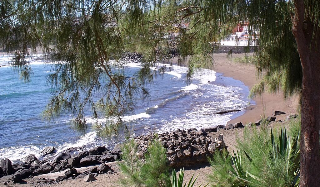
East of Gran Canaria’s second city, the Telde coastline runs along low volcanic shelves and dark rocky coves facing the open Atlantic. Away from the island’s resort zones, this stretch of shore keeps the working rhythm of small fishing settlements backed by banana plantations and sun‑baked farmland.
The Telde coastline marks the point where Gran Canaria’s second‑largest municipality reaches the sea, midway between Las Palmas and the airport at Gando. Instead of cliffs or wide resort beaches, the land meets the Atlantic in low volcanic shelves — the remnants of ancient lava flows worn smooth by wind, salt spray and decades of tide.
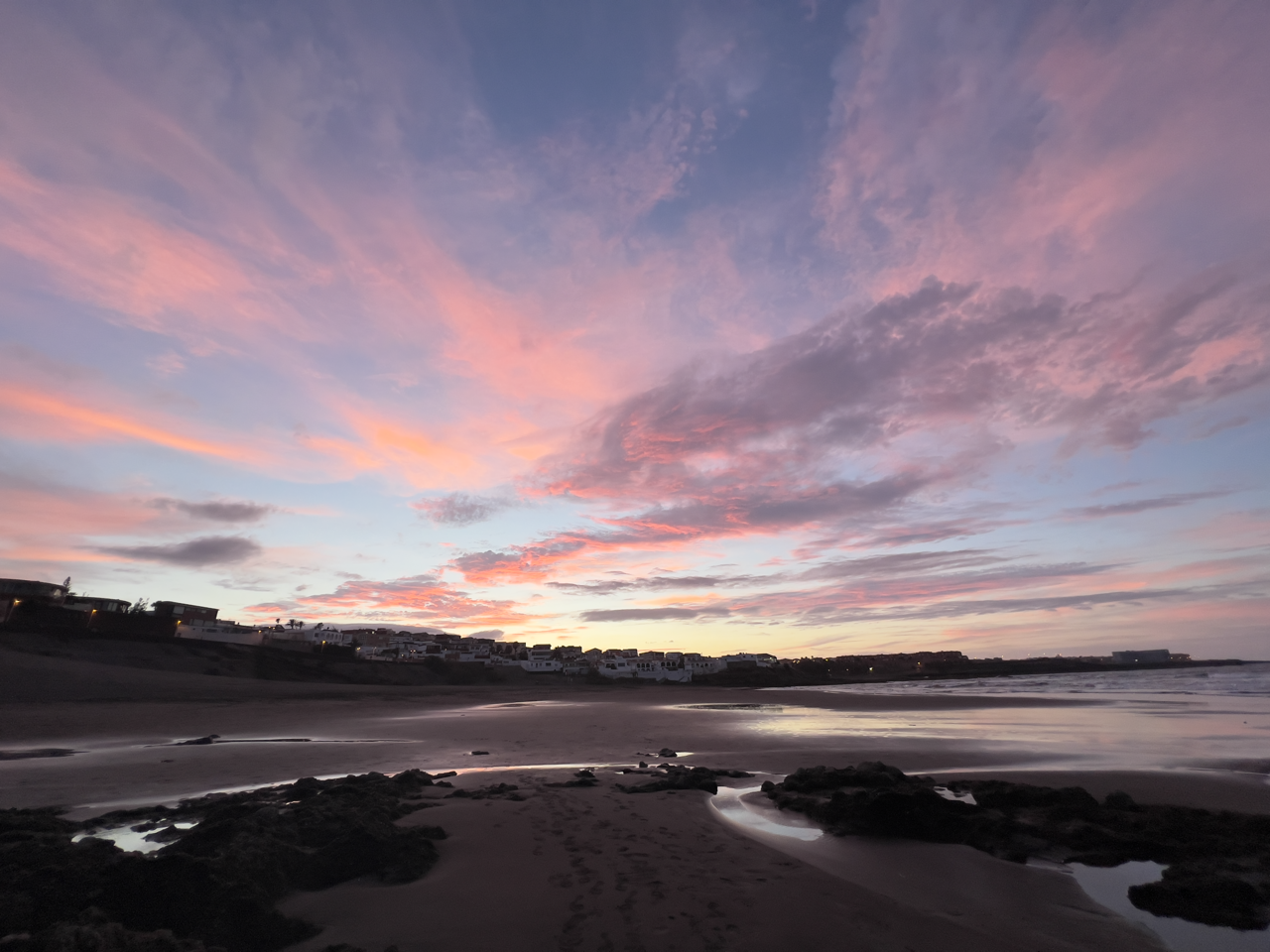
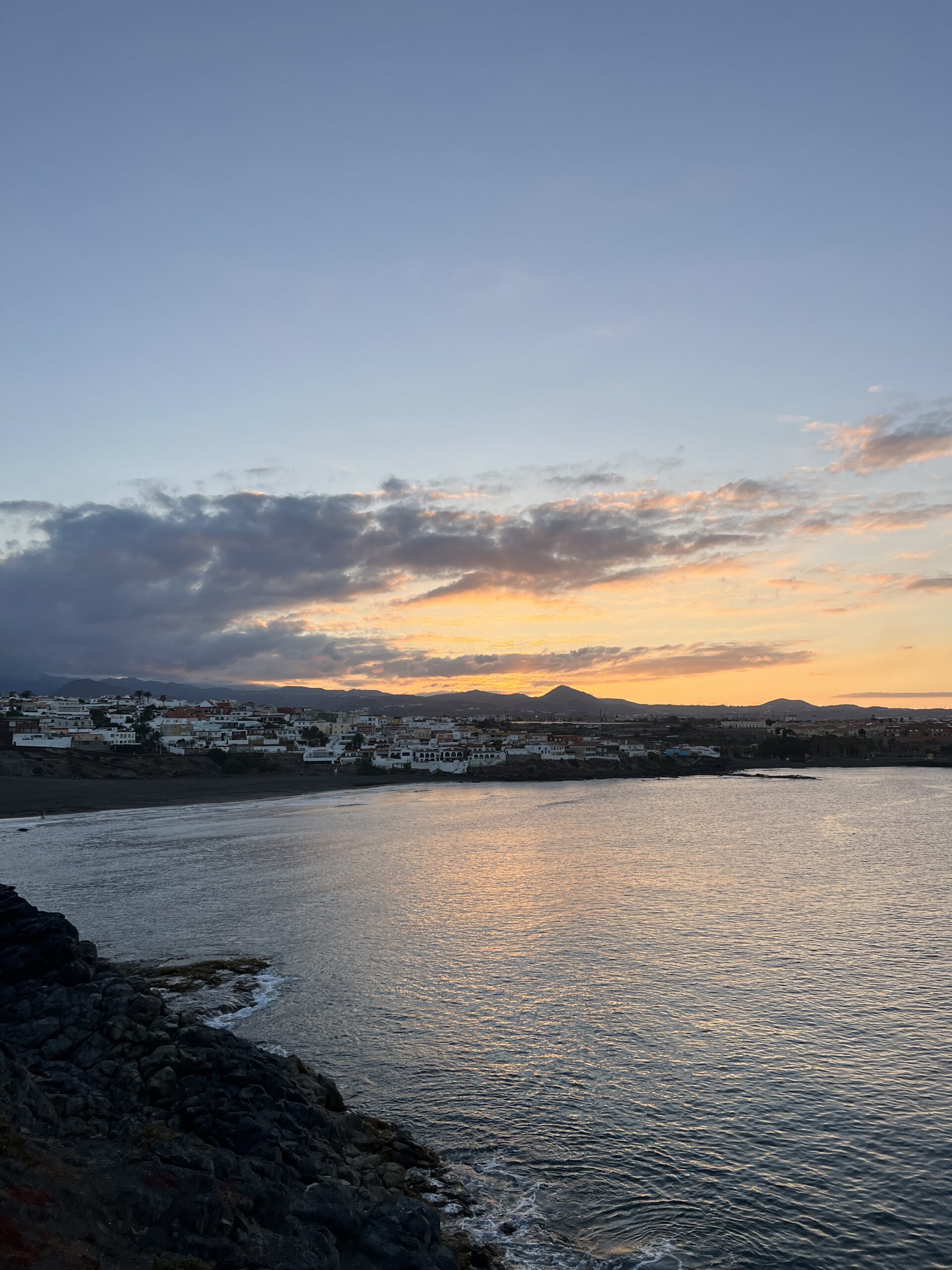
Facing east, this stretch of coast avoids the full force of the trade winds that strike the island’s north. The result is a milder, often hazier micro‑climate where calima dust drifting from the Sahara settles more readily than on the windward shores. Small clusters of fishermen’s houses sit directly on the rock, their boats pulled up onto slipways rather than moored in harbours — a reminder that this coastline has long been shaped by work rather than tourism.
Inland, the ground rises gently into the fertile plain that made Telde one of Gran Canaria’s historic agricultural centres. Cochineal and sugar cane once dominated these fields; today tomatoes and bananas grow in greenhouses and plantations that press right up to the shoreline. Walking the coast means moving between plastic‑roofed farmland and open Atlantic water within a few hundred metres.
For visitors, the appeal lies in the contrast: rock pools exposed at low tide, modest coves used by locals, and views across open water uninterrupted by resort skylines. It is a coastline that shows Gran Canaria’s everyday rhythm — a meeting point between volcanic land, working sea and the agricultural plain behind it.
🏛 Similar places
📍 Nearby to explore


🏨 Hotels nearby
No hotels found.