Teror Mountains
Green Peaks Above the Basilica Town
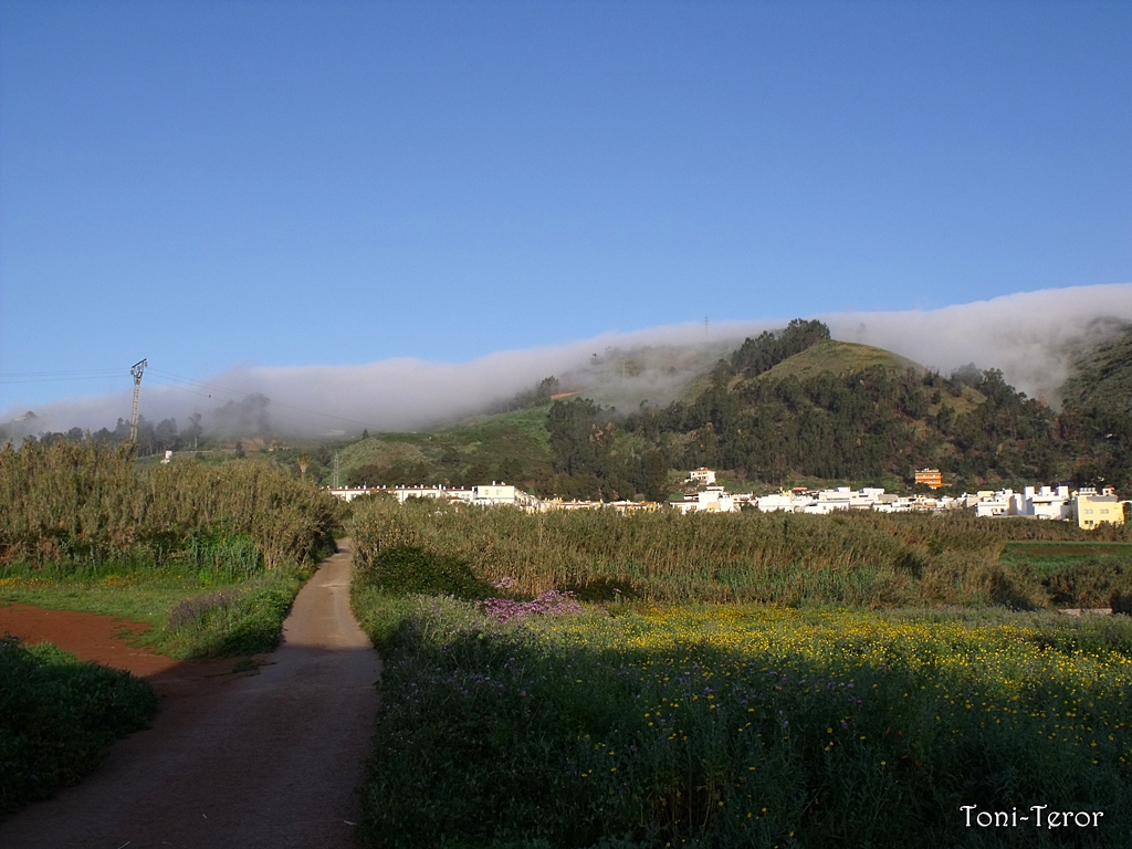
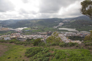
The high ground surrounding Teror rises through Gran Canaria’s north‑central interior, where trade‑wind cloud keeps the slopes damp and green. Laurel remnants, Canary pine stands and terraced smallholdings climb the ravines above the town, offering walking routes and wide views back down to the coast.
North of Las Palmas, the terrain rises quickly into the damp, folded interior of Gran Canaria, and Teror sits in a valley cradled by this high ground. The mountains around the town catch the moisture carried inland by the trade winds, which stall against the island’s central massif and often leave a soft cap of cloud sitting over the ridges even when the coast below is dry and bright.
This dampness shapes everything on the slopes. Laurel forest remnants persist in the shadier ravines, a fragment of the humid woodland that once covered much of Gran Canaria’s north before agriculture and grazing pushed it back. Higher up, Canary pine takes over on the drier, more exposed ground, its long needles adapted to trap the same drifting mist that feeds the valley below.
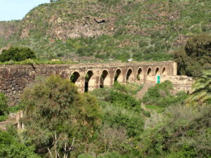
Centuries of terracing have cut into the lower slopes, where smallholders grow potatoes, fruit trees and fodder crops on narrow plots stepped into the hillside — a pattern typical of this part of the island, where flat land is scarce and every workable strip of soil has been shaped by hand. Tracks and old drovers’ paths link these terraces to the pine woods above, still used today by walkers heading out from Teror into the surrounding hills.
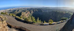
From the higher points around the town, the ground falls away towards the north coast, giving views that shift with the cloud: sometimes a clear run down to the sea, sometimes nothing beyond the nearest ridge as the mist closes in. It is this changeable, well‑watered character — rare on an island otherwise associated with sun and dry barrancos — that marks out the Teror mountains as some of Gran Canaria’s greenest high ground.