Ruta de los Volcanes
La Palma’s Great Ridge Walk
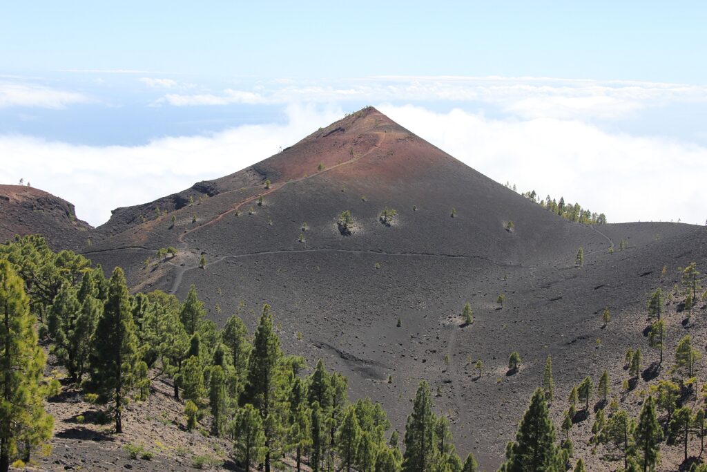
Ruta de los Volcanes traces the long volcanic spine of southern La Palma, a high‑level trail crossing cinder cones, lava fields and pine‑fringed ridges above the Atlantic. It is the island’s signature hike, revealing layer upon layer of its eruptive history.
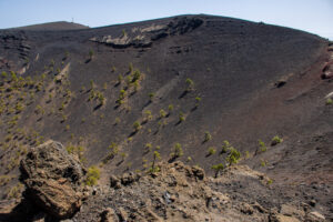
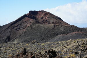
Ruta de los Volcanes follows the crest of Cumbre Vieja, the volcanic ridge that forms the southern half of La Palma. The trail runs for kilometres along high ground shaped by repeated eruptions, passing cinder cones, ash slopes and bare lava fields that read like a geological timeline of the island’s formation.
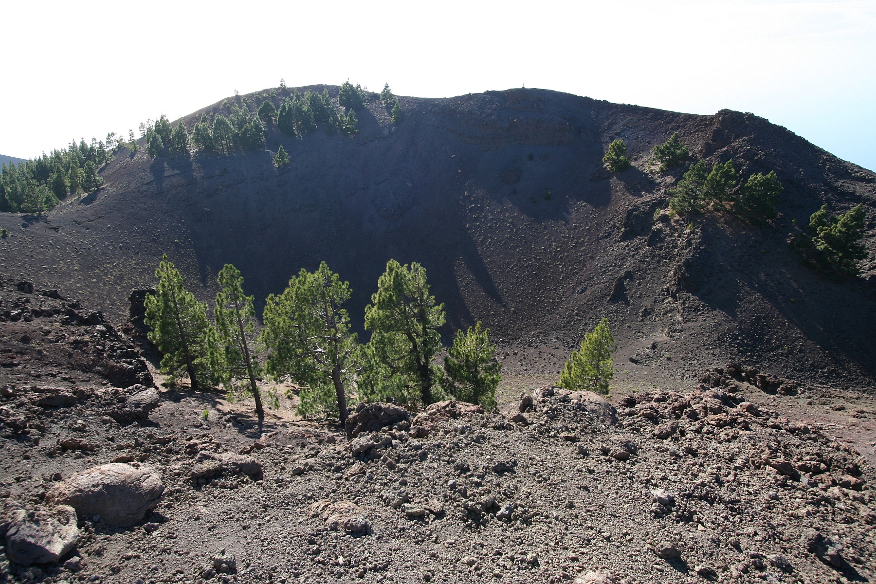
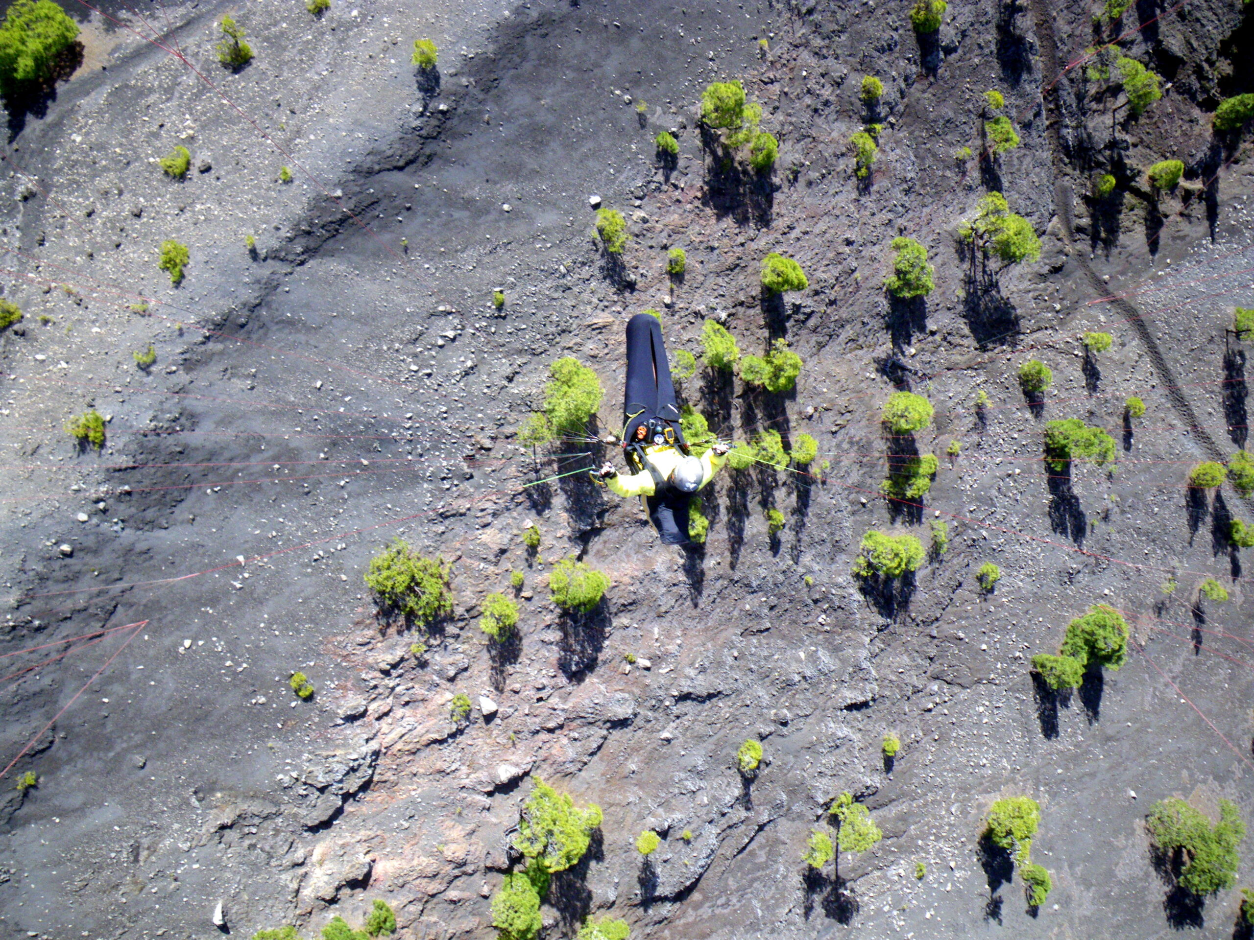
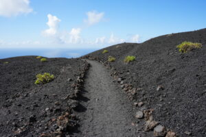
The route begins in pine forest, where long needles catch moisture from the trade‑wind clouds drifting across the ridge. As the path climbs, vegetation thins and the terrain opens into wide, treeless stretches of red and black volcanic material. Cones rise abruptly from otherwise level ground, their flanks streaked with loose cinder and hardened lava.
Views shift constantly along the ridge. To the west, the Atlantic lies far below, framed by the steep slopes of the Aridane Valley; to the east, cloud often banks against the ridge, drifting across the trail in slow layers. On clear days, the horizon runs uninterrupted toward Tenerife and the distant outline of Teide.
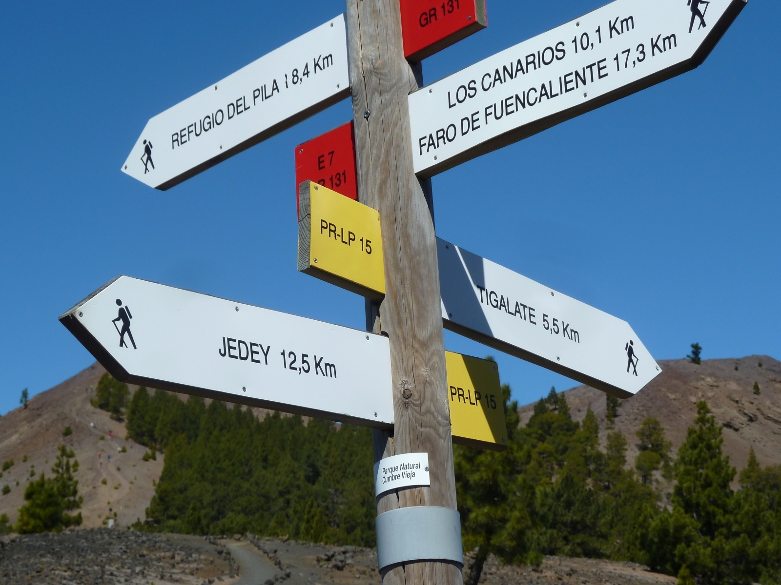
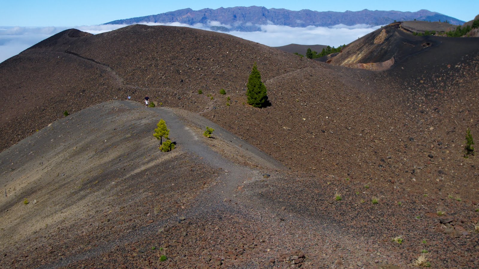
Walking the route is a matter of moving through contrasting atmospheres: forested sections with filtered light, exposed volcanic plateaus with sharp wind, and quiet passes between cones where the ground feels newly formed. The landscape is recent in geological terms, shaped by eruptions within living memory, and few places on La Palma make that process so legible at ground level.
For many visitors, Ruta de los Volcanes is the defining hike of La Palma — a long, expressive traverse of the island’s volcanic backbone, where geology, altitude and open horizon meet along one of the Canary Islands’ most distinctive trails.