Mal Nombre Beach
Open Southern Shoreline Between Sotavento and Matorral
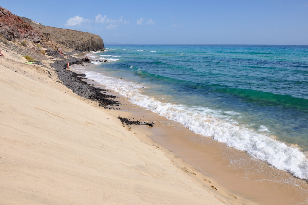
Mal Nombre Beach is an open pale‑sand shoreline on Fuerteventura’s southern coast, known for its wide horizons, dry terrain and steady coastal winds. Its position between Sotavento and Playa del Matorral gives it a distinctive transitional character.
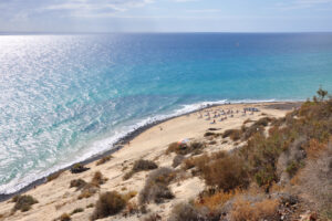
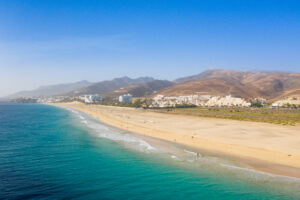
Mal Nombre Beach (Playa del Mal Nombre) lies on the southern side of the Jandía peninsula, a wide and open shoreline shaped by pale sand, steady winds and the dry volcanic terrain typical of the region. The beach forms a natural link between the expansive lagoon zone of Sotavento and the long coastal plain leading toward Playa del Matorral.
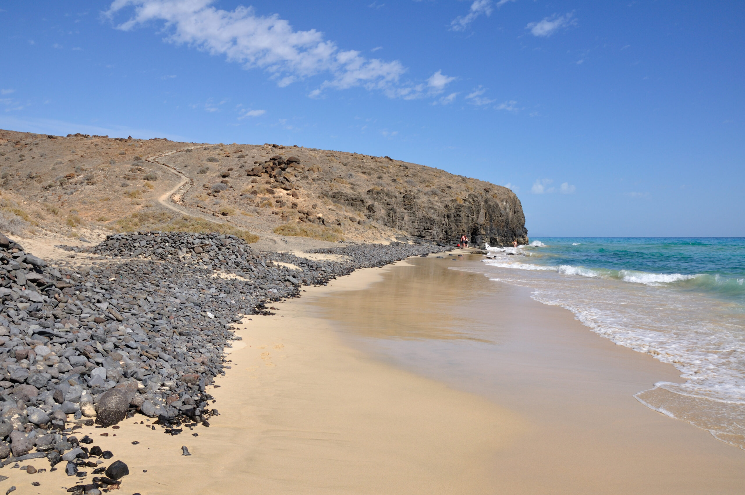
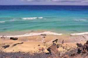
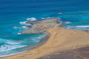
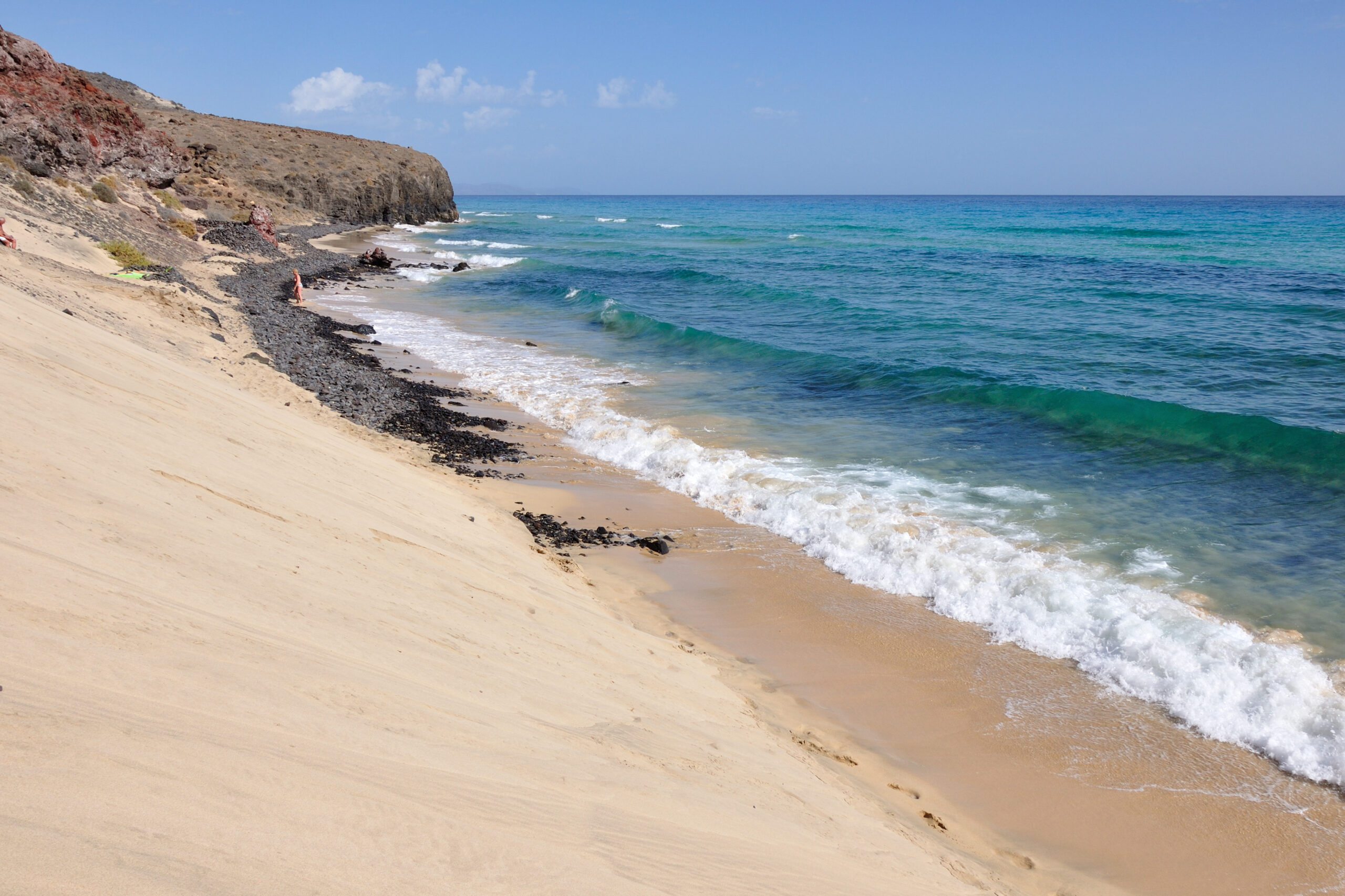
The shoreline consists of soft sand and gentle slopes descending toward clear Atlantic water. The beach’s orientation exposes it to consistent coastal winds, creating shifting sand patterns and a dynamic shoreline that reflects the broader southern Fuerteventura environment.
The surrounding terrain includes dry slopes, scattered vegetation and the open coastal plain that defines much of the Jandía coastline. The area’s scale and light make it a popular spot for walking, swimming and long coastal views.
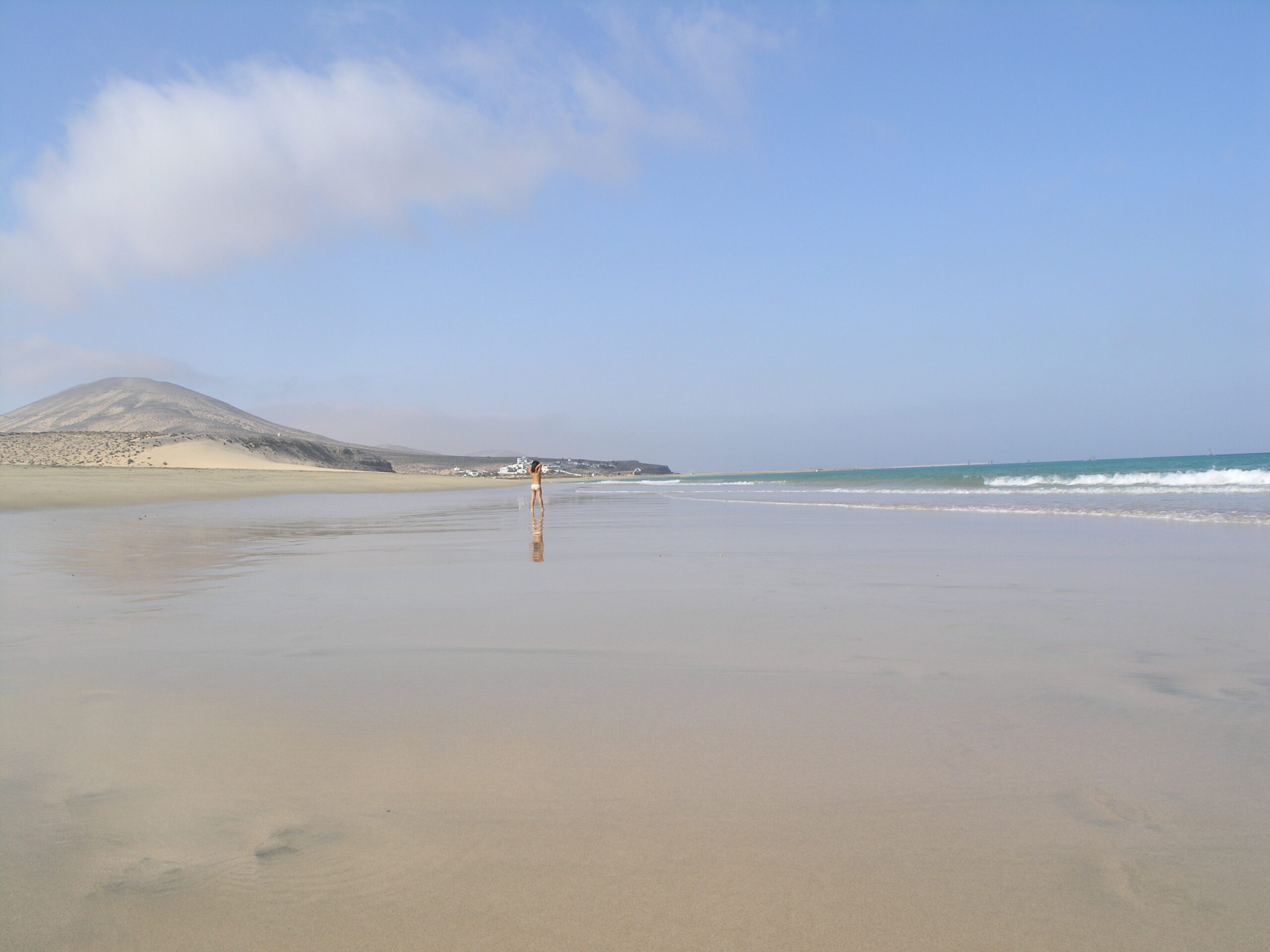
Mal Nombre Beach forms part of the wider southern coastal route, connecting with Sotavento Beach to the north‑east and Playa del Matorral to the south‑west. Its combination of pale sand, open space and transitional coastal character makes it one of the region’s most distinctive beaches.